View as:
Standard
Commencement
Manors Junction
Termination
Morpeth Junction
Zero Point
Manors Junction
NER Abbreviation
B & T
NER Line Name
Blyth & Tyne
NER Line Number
N26
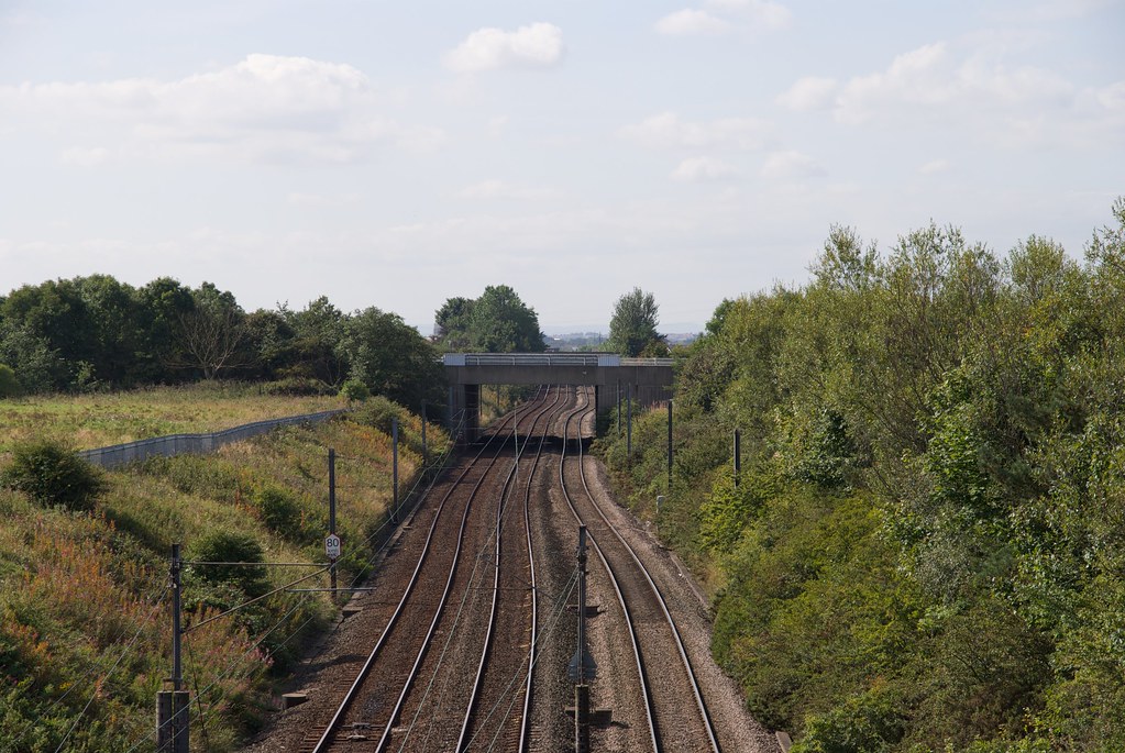
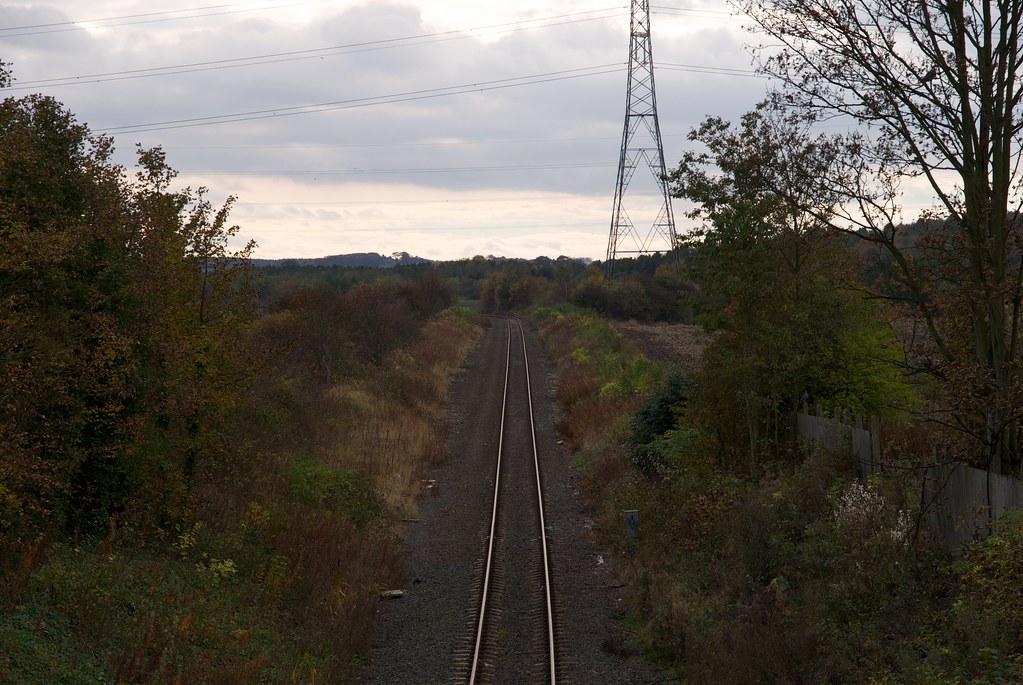
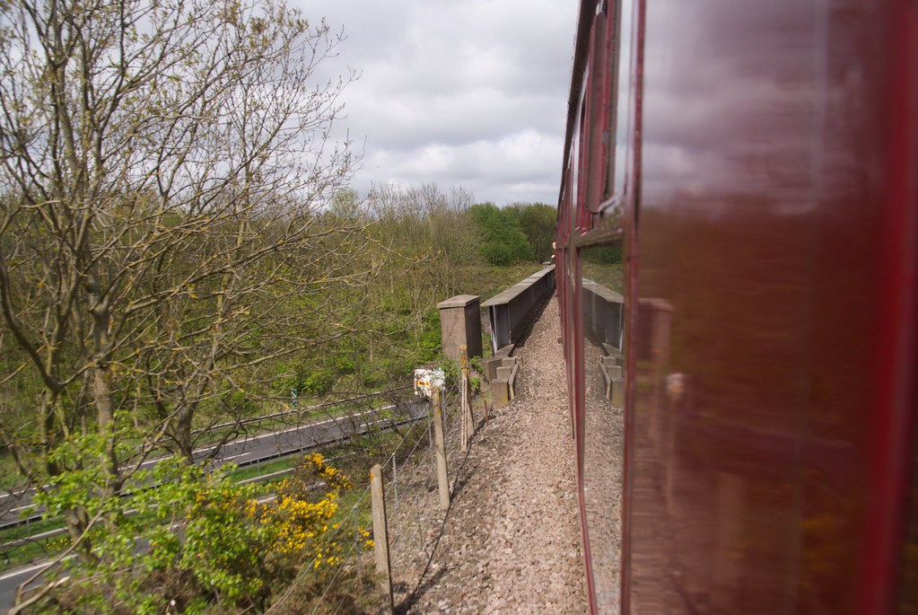
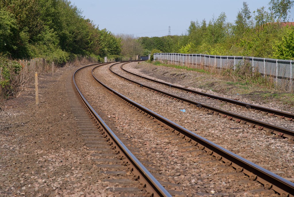
Blyth and Tyne main line.
Line Diagram
| BTN Blyth and Tyne Line | ||||
|---|---|---|---|---|
| Mileage | No. | Details | ||
| 0m 00ch |
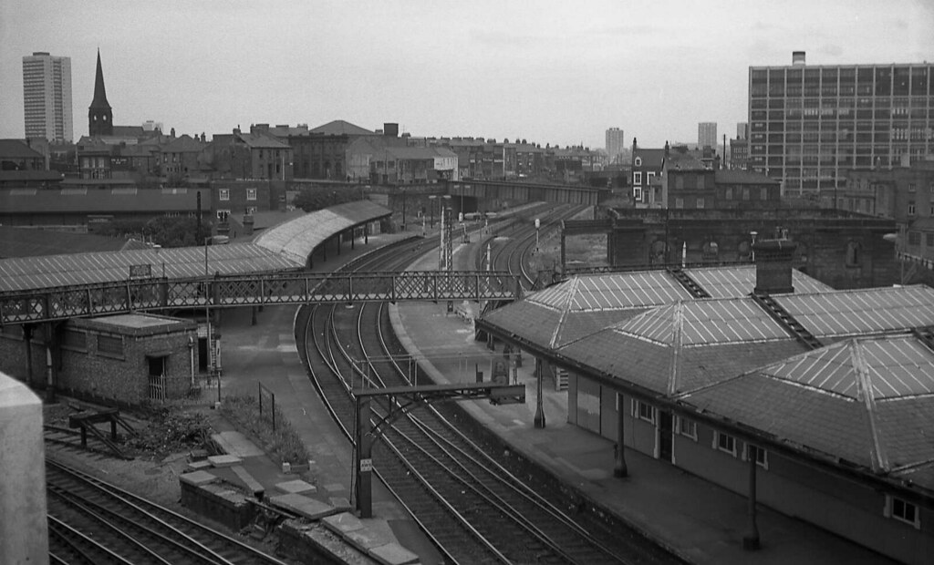
Manors Junction
 |
|||
| 0m 03ch |
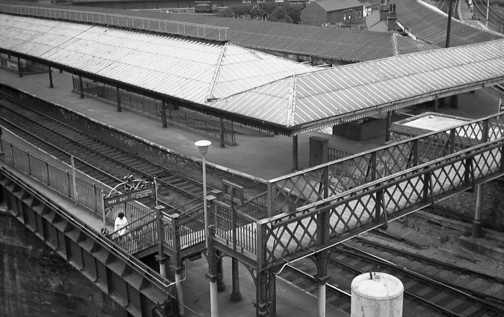
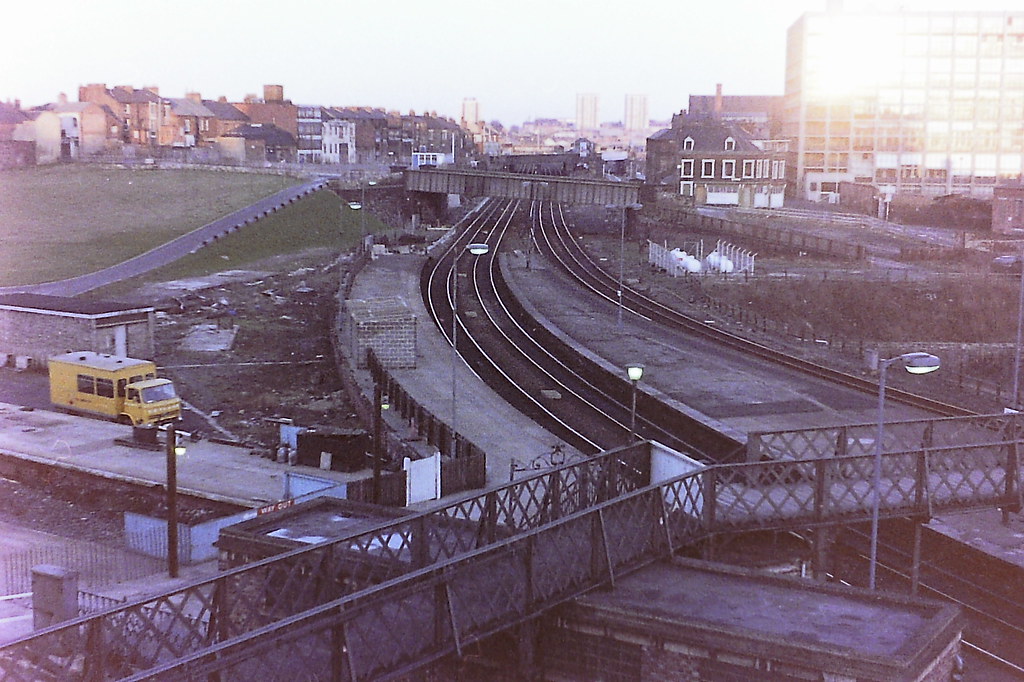
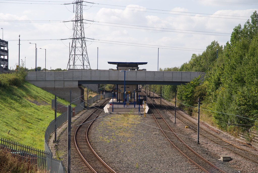
Manors Station Footbridge
    |
|||
| 0m 07ch | 1 |
Passenger Subway
|
||
| 0m 08ch |
Manors North
Platform extends from 0m3ch to 0m13ch 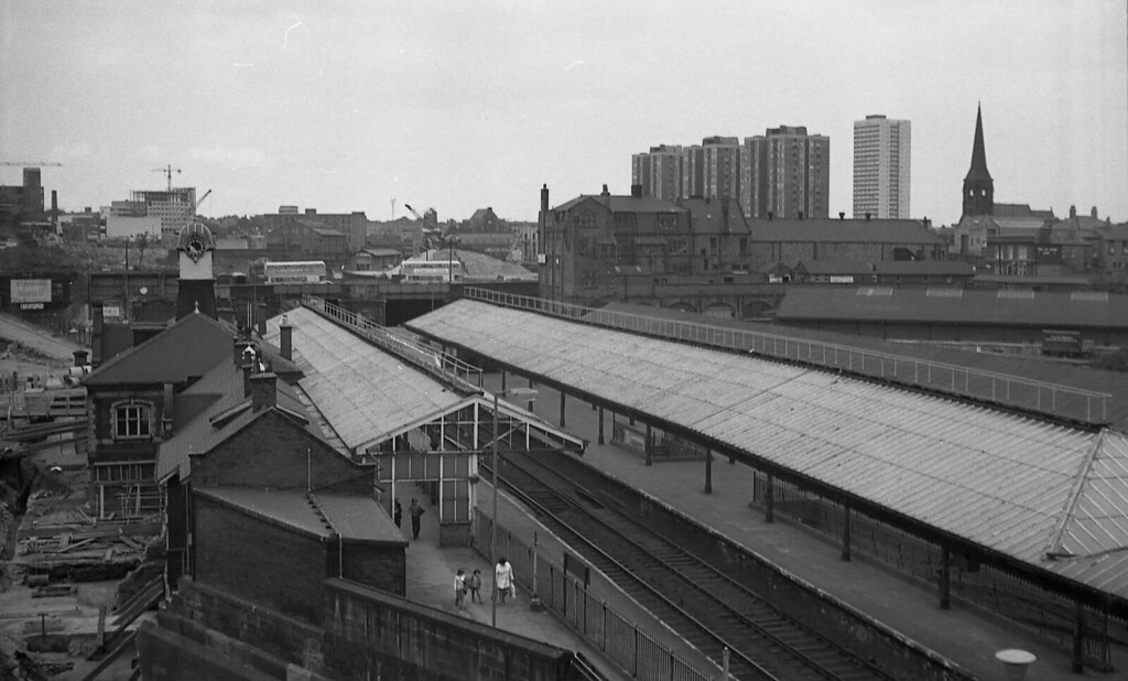      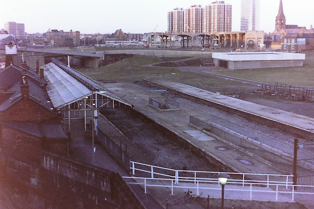      |
|||
| 0m 10ch | 2 |
Lift Subway
|
||
| 0m 14ch | 3 |
New Bridge Street
     |
||
| 0m 18ch |
Manors North Signal Box
|
|||
| BTN Blyth and Tyne, now Tyne and Wear Metro Empty Stock Line | ||||
|---|---|---|---|---|
| Mileage | No. | Details | ||
| 0m 20ch |
Manors North Junction
|
|||
| 0m 35ch | 4 |
Camden Street
|
||
| 0m 41ch |
Jesmond Signal Box
|
|||
| 0m 48ch |
New Bridge Street Goods Lines
|
|||
| 0m 51ch |
New Bridge Street Depots Junction
|
|||
| 0m 51ch | 5 |
Sandyford Road
          |
||
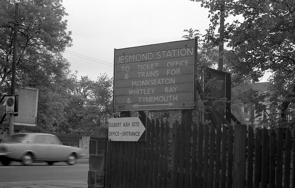
| 0m 56ch |
Jesmond
   |
|||
| 0m 61ch | 6 |
Jesmond Road
   |
||
|
Tyne and Wear Metro line
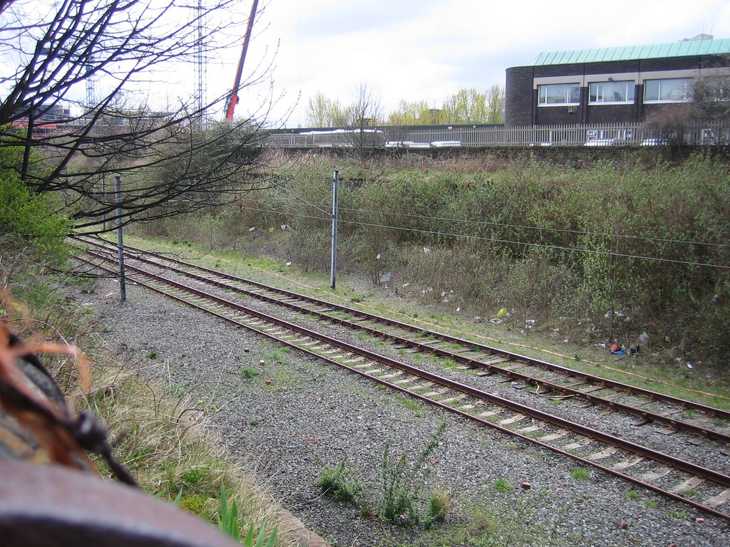
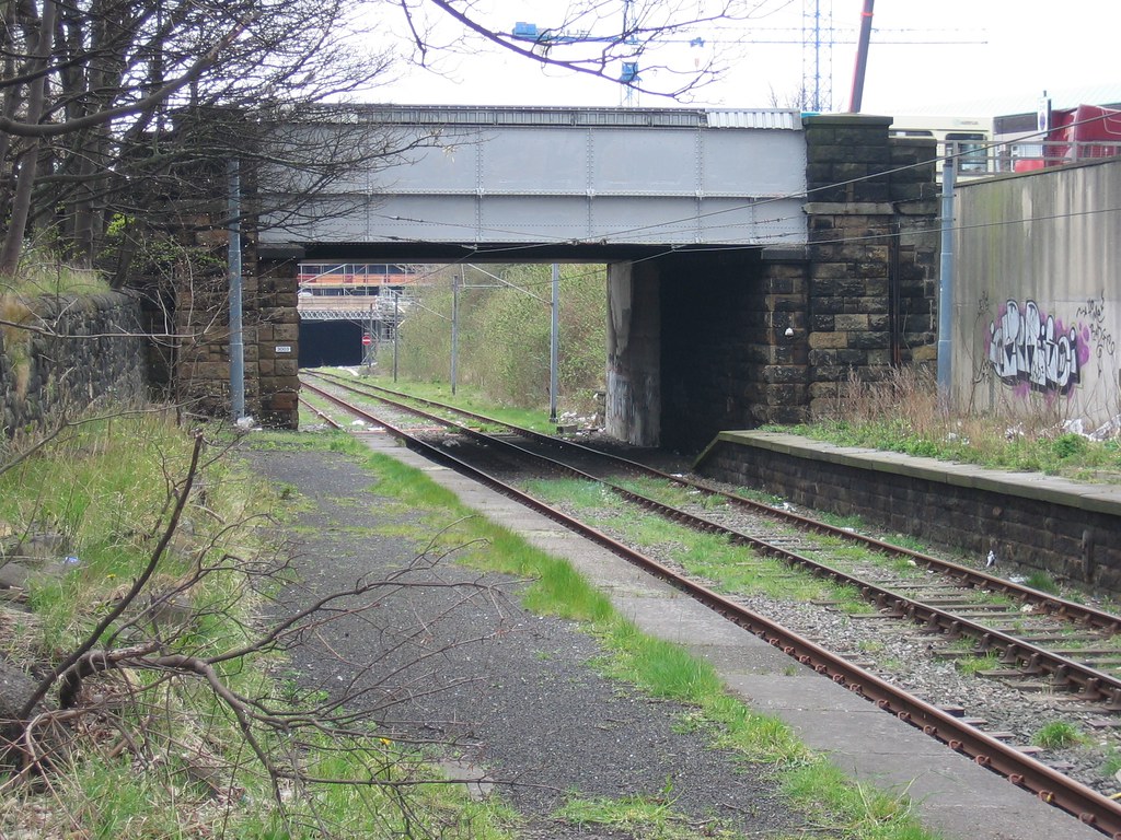
The newly-built Tyne and Wear Metro line towards Newcastle City Centre diverges from the original Blyth and Tyne line at this junction. It has been retained to allow access from the main Metro line to the empty stock line to Manors Station to allow Metro trains to get to and from the depot at South Gosforth without having to travel around the whole of the loop.
|
||||
| 0m 79ch | 7 |
Clayton Road
|
||
| 1m 06ch | 8 |
Haldane Terrace
|
||
| 1m 25ch | 9 |
Footbridge
|
||
| 1m 31ch | 10 |
Forsyth Road
|
||
| 1m 31ch |
West Jesmond Sidings
|
|||
| 1m 39ch |
West Jesmond Signal Box
|
|||
| 1m 44ch |
West Jesmond
Platforms extend from 1m40ch to 1m47ch     |
|||
| 1m 44ch | 11 |
West Jesmond Station Subway
|
||
| 1m 57ch | 12 |
Lyndurst Terrace
|
||
| 1m 68ch | 13 |
Jesmond Dene Road
|
||
| 1m 74ch | 14 |
Moorfield Bridge
|
||
|
Ilford Road
Tyne & Wear Metro
|
||||
| 2m 03ch |
Craghall Dene Siding Ground Frame
|
|||
| 2m 03ch |
Craghall Dene Siding
|
|||
| 2m 20ch |
Craghall Dene Siding
Siding reinstated for Tyne and Wear Metro use but reversed - siding neck at northern end nearest South Gosforth Station.
|
|||
| 2m 23ch | 15 |
Stoneyhurst Road
|
||
| 2m 23ch |
South Gosforth Station Siding
|
|||
| 2m 29ch |
South Gosforth Signal Box
|
|||
| 2m 32ch |
South Gosforth
Platforms extend from 2m29ch to 2m36ch
|
|||
| 2m 35ch | 16 |
South Gosforth Station Footbridge
|
||
| 2m 36ch | 17 |
Station Road
|
||
| 2m 39ch |
Gosforth South Junction
|
|||
| 2m 49ch |
Wagonway Crossing
|
|||
| 2m 61ch |
South Gosforth East Junction Signal Box
Sidings diagram puts SB at 2m62ch
|
|||
| 2m 64ch | 18 |
Footbridge
|
||
| 2m 66ch |
South Gosforth New Signal Box
|
|||
| 2m 69ch | 19 |
Ouse Burn
|
||
| 2m 70ch |
Gosforth East Junction
|
|||
| 2m 73ch | 20 |
Killingworth Road
Bridge replaced 2016-2017 as part of Tyne and Wear Metro upgrades
|
||
| 3m 02ch |
Lucozade Factory Siding
|
|||
| 3m 05ch | 21 |
Occupation Road
|
||
| 3m 13ch |
Occupation Crossing
|
|||
| 3m 22ch |
Longbenton
Line diagram shows Longbenton at 3m16ch
|
|||
| 3m 22ch | 21A |
Longbenton Station Footbridge
|
||
| 3m 28ch |
Occupation Crossing
|
|||
| 3m 37ch |
Occupation Crossing
|
|||
| 3m 48ch |
Occupation Crossing
|
|||
| 3m 63ch | 22 |
A188 Road
|
||
|
Four Lane Ends Station
Tyne & Wear Metro
|
||||
| 3m 75ch | 23 |
Occupation Road
|
||
| 4m 03ch | 24 |
Occupation Road
|
||
| 4m 11ch |
Benton Station Yard Ground Frame
|
|||
| 4m 11ch |
Benton Station Siding
|
|||
| 4m 21ch |
Benton
Platforms extend from 4m18ch to 4m25ch
|
|||
| 4m 25ch | 25 |
Benton Station Footbridge
|
||
| 4m 26ch | 26 |
Public Road
|
||
| 4m 29ch |
Benton Signal Box
|
|||
| 4m 29ch |
Benton SW Curve Junction
|
|||
| 4m 32ch |
Benton NW Curve Junction
|
|||
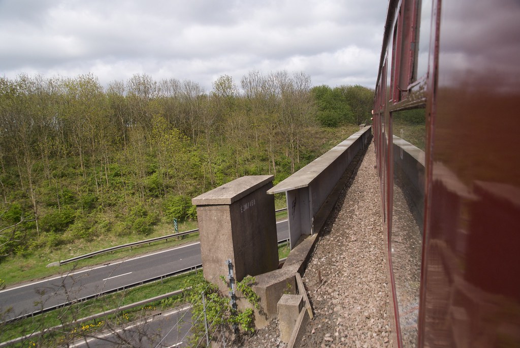
| 4m 47ch | 27 |
Newcastle & Berwick Line
|
||
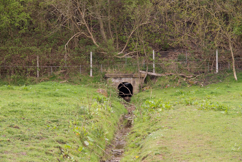
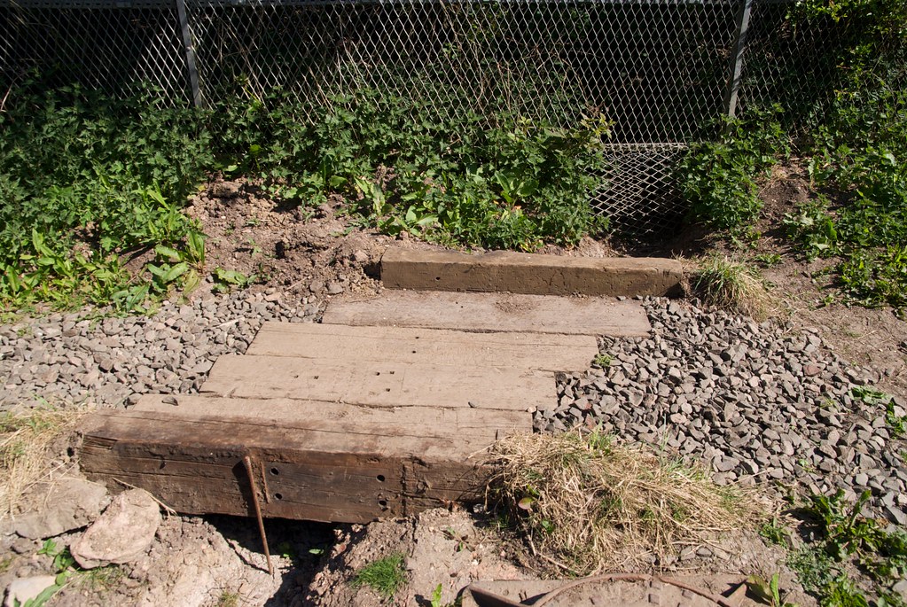
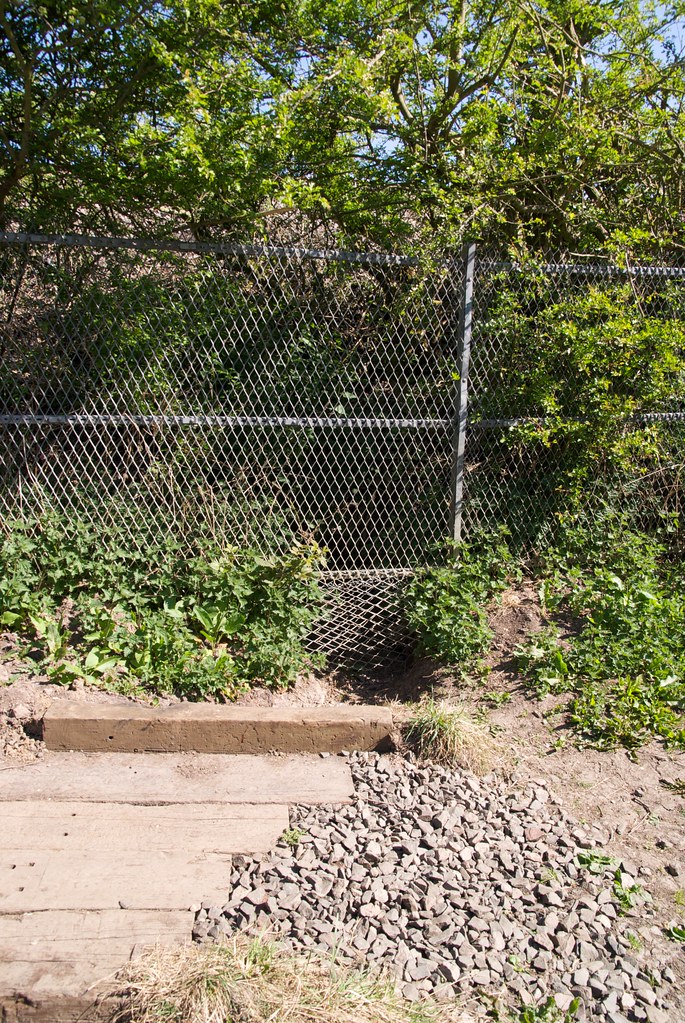
| 28 |
Culvert
|
|||
|
Foot Crossing
|
||||
|
Forest Hall
|
||||
| 4m 74ch |
Benton East Junction
|
|||
| 4m 75ch |
Benton East Signal Box
|
|||
| BNE Benton East Junction to Earsdon Junction | ||||
|---|---|---|---|---|
| Mileage | No. | Details | ||
| 4m 77ch |
Occupation Crossing
|
|||
| 5m 04ch | 28A |
PTE Flyover (T&W Metro)
|
||
| 5m 06ch |
Rising Sun Exchange Sidings - West Connection
|
|||
| 5m 17ch |
Rising Sun Exchange Sidings - East Connection
|
|||
| 5m 20ch |
Killingworth Crossing Signal Box
|
|||
| 5m 20ch |
Killingworth Wagonway
|
|||
|
Palmersville Station
Tyne & Wear Metro
|
||||
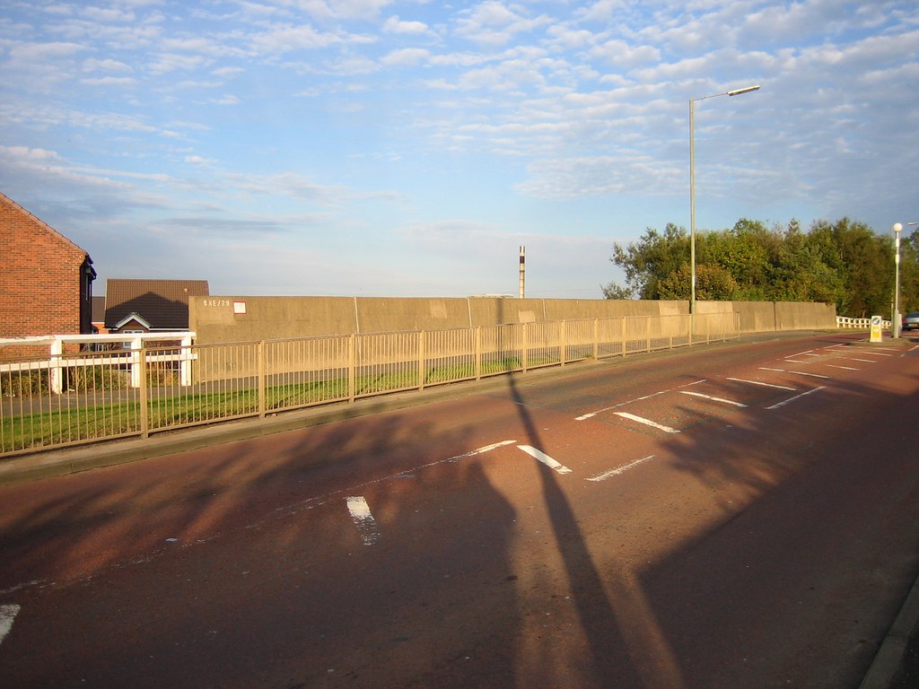
| 5m 50ch | 29 |
Great Lime Road Bridge (B1318, Later B1505)
        |
||
| 5m 51ch |
Benton Square
|
|||
| 5m 63ch |
Occupation Crossing
|
|||
| 6m 03ch |
Holystone Siding Ground Frame
|
|||
| 6m 03ch |
Holystone Siding
|
|||
| 6m 04ch |
Occupation Crossing
|
|||
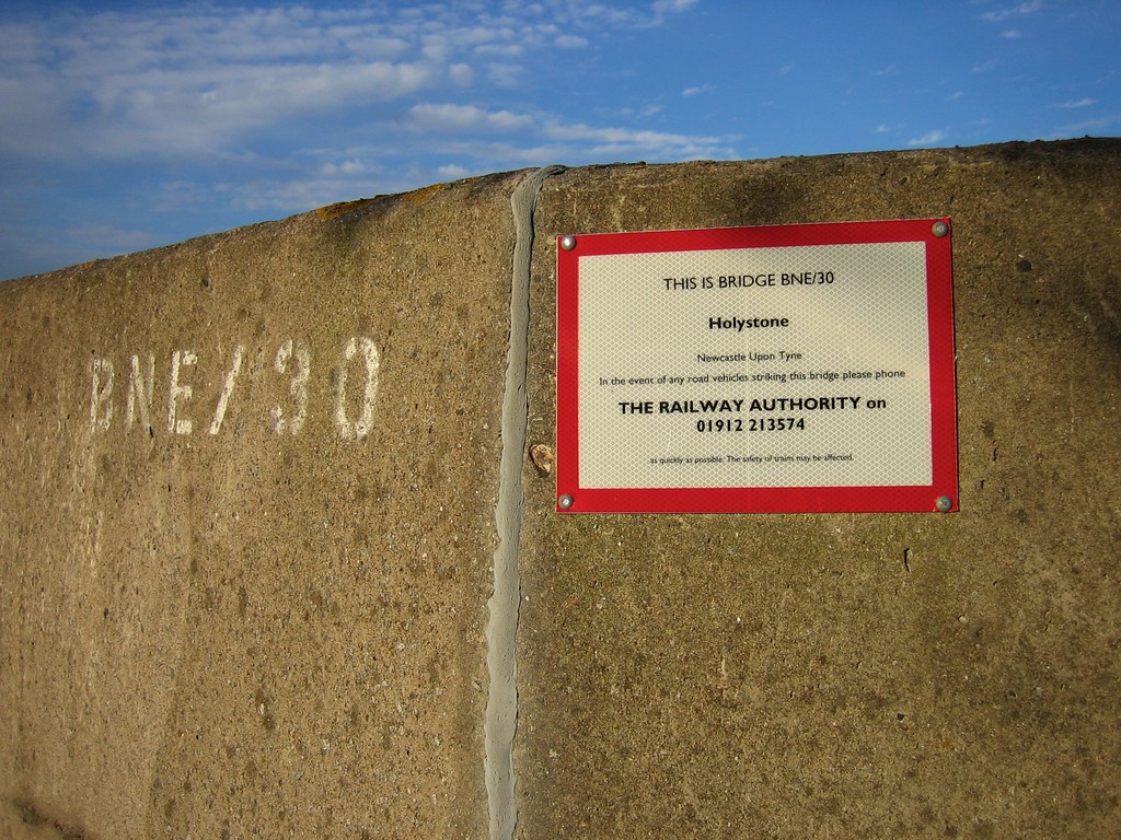
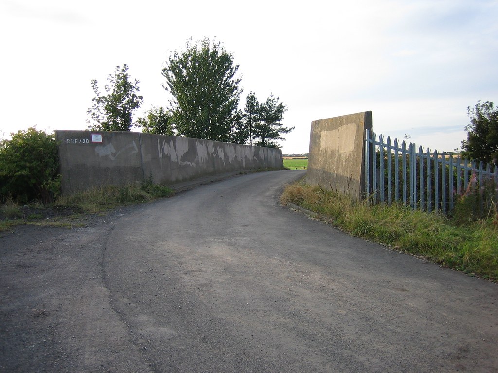
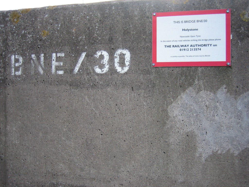
| 6m 15ch | 30 |
Occupation Road
      |
||
| 6m 20ch | 31 |
Seaton Burn Waggonway
|
||
| m ch | 31A |
A19 Road
     |
||
| m ch | 31B |
A186 Road
2m18ch along BNE mileage 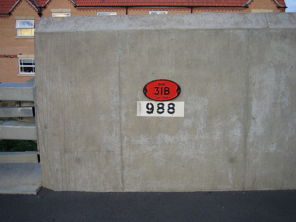 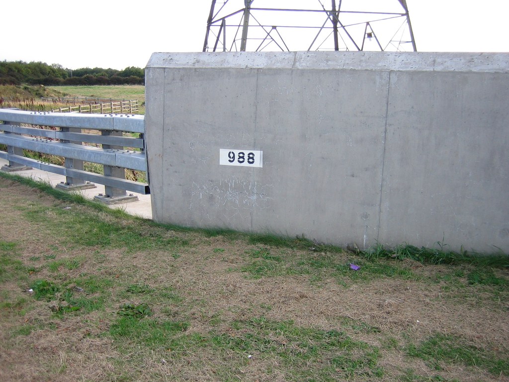 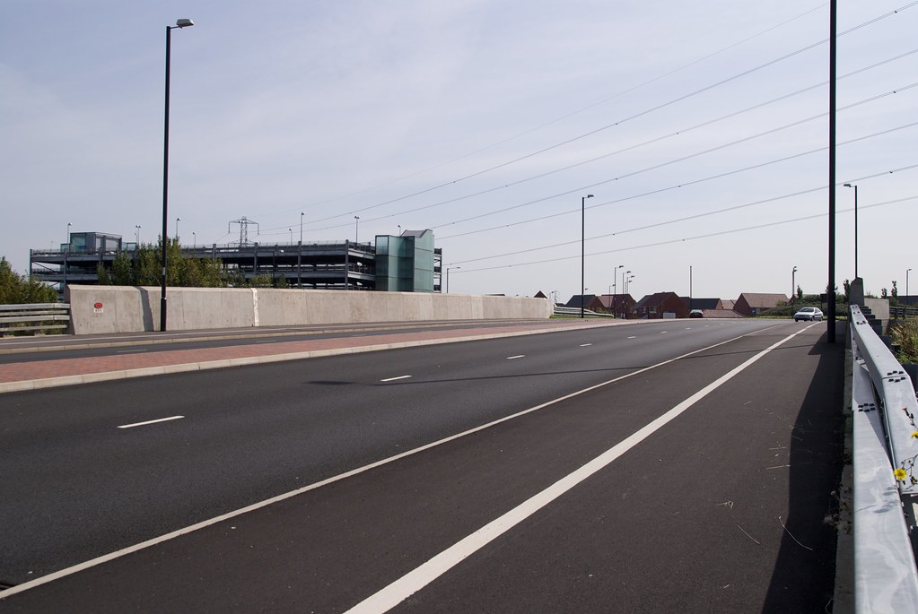 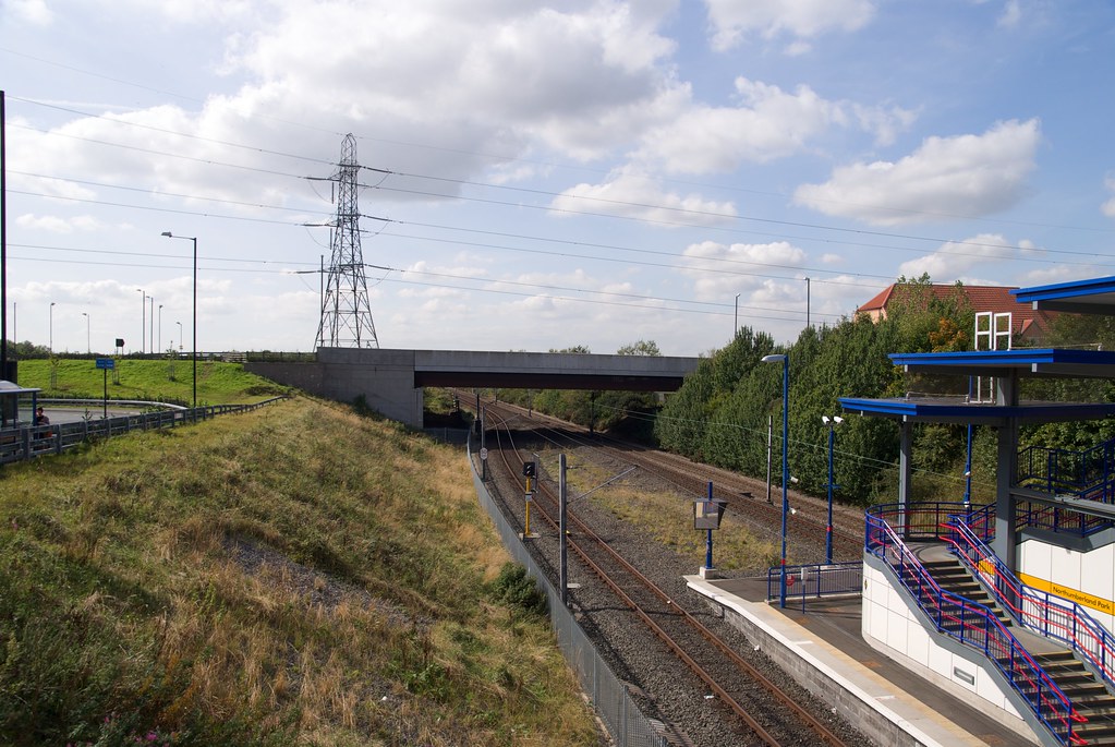    |
||
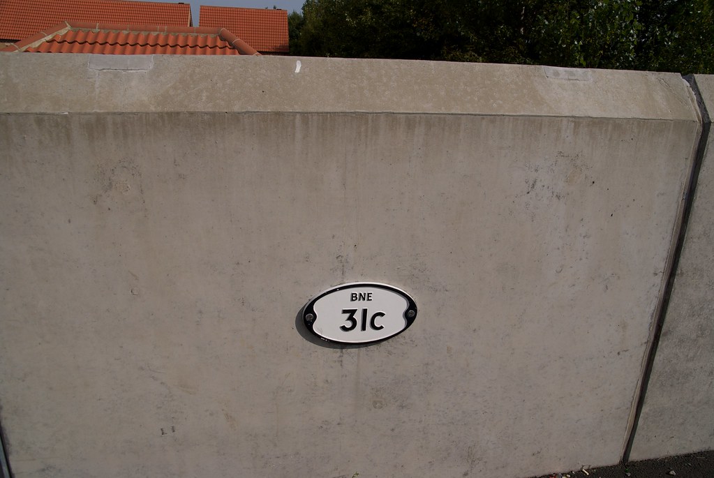
| m ch | 31C |
Algernon Drive
       |
||
| 6m 55ch |
Backworth
Platforms extend from 6m52ch to 6m60ch
|
|||
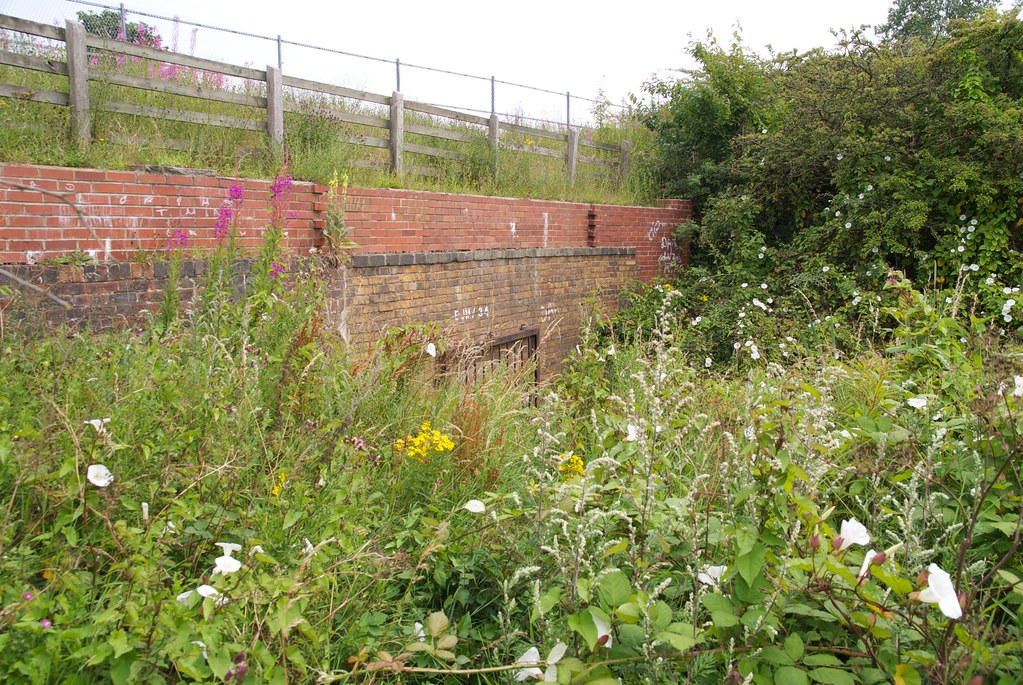
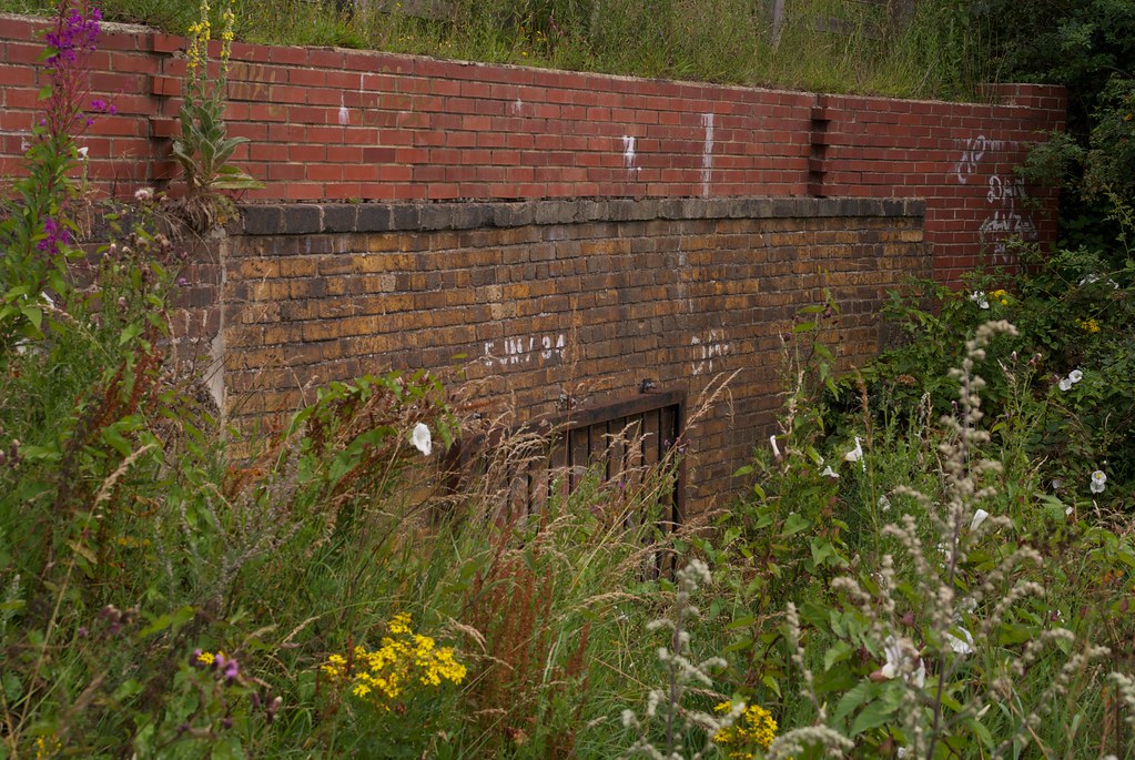
| 6m 55ch | 32 |
Backworth Waggonway
This bridge crossed the end of Backworth Station platforms
|
||
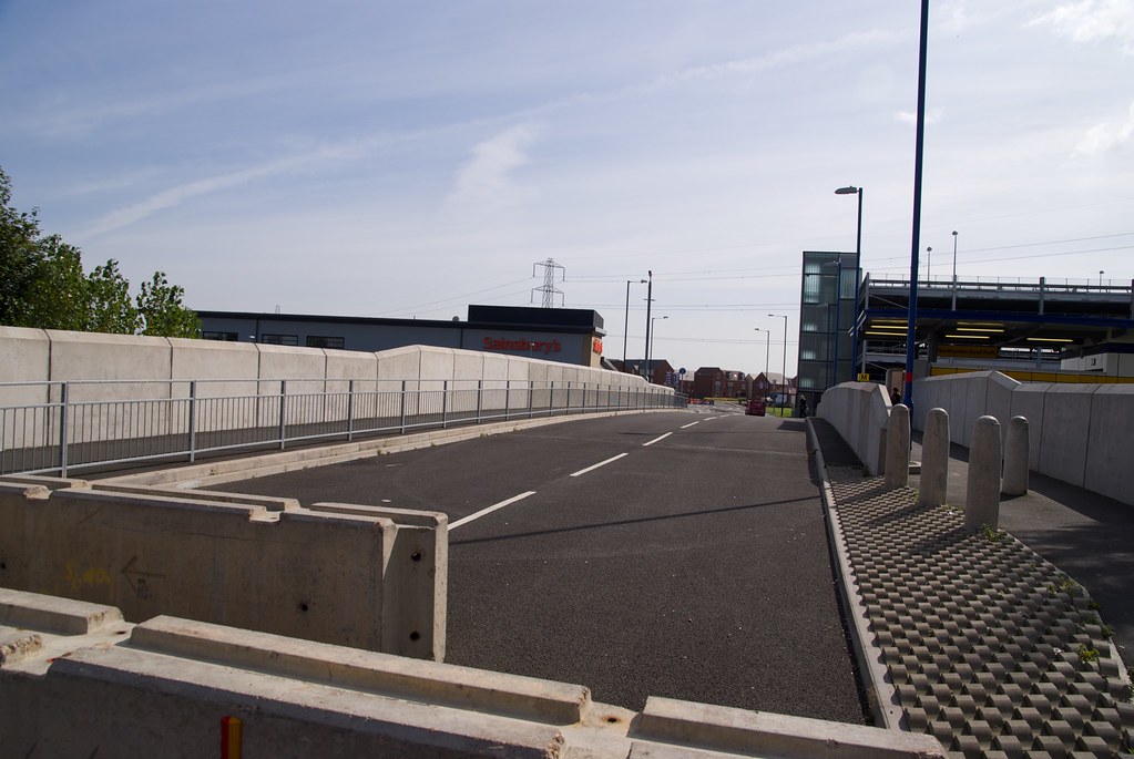
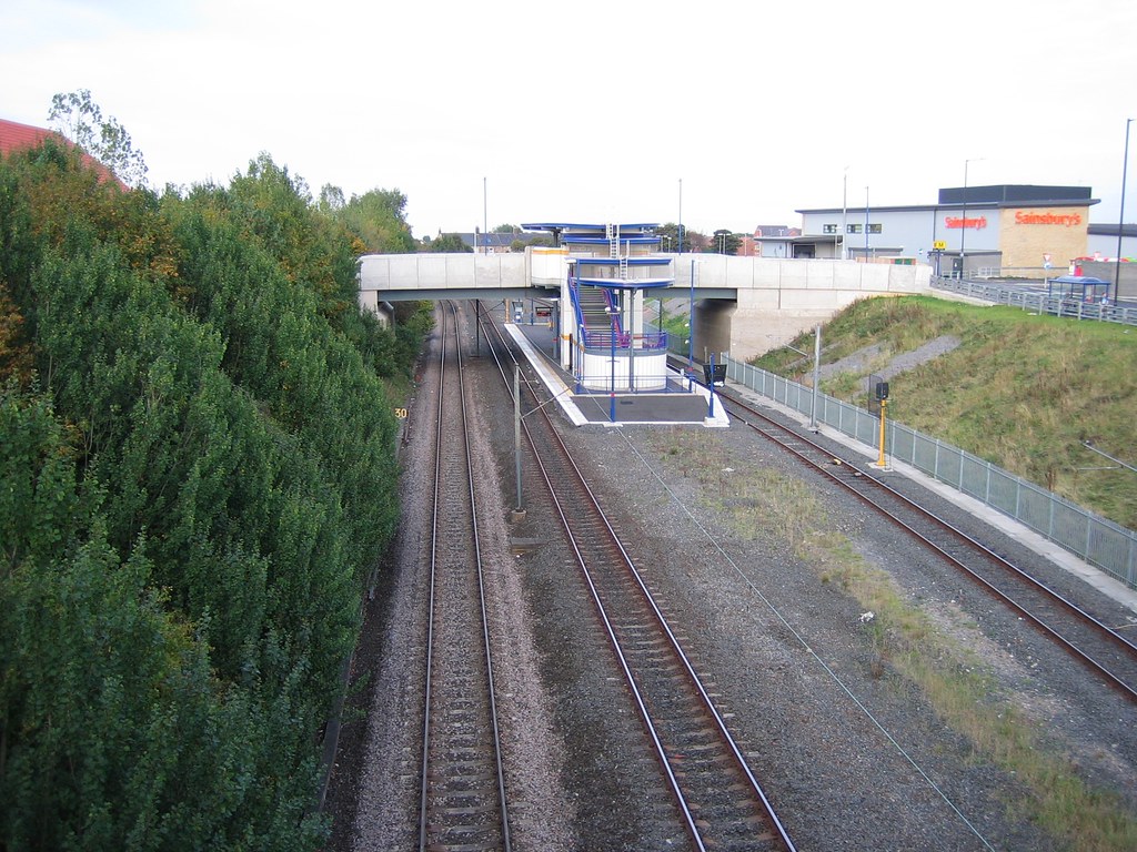
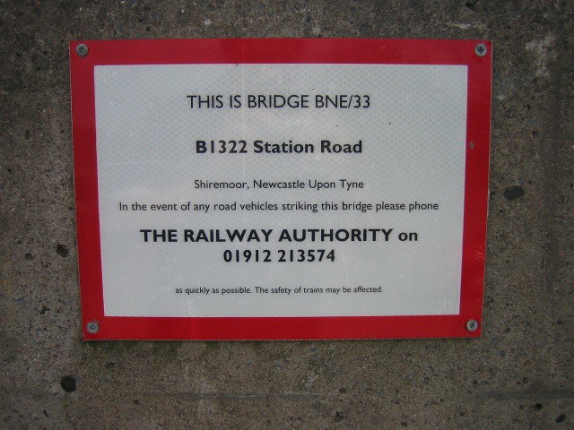
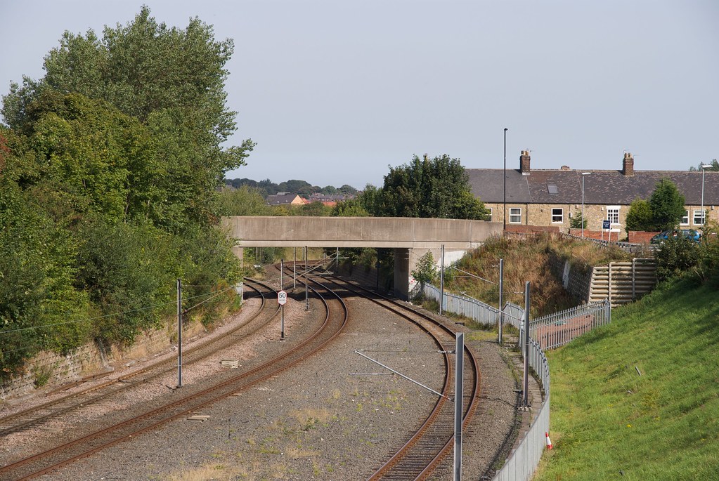
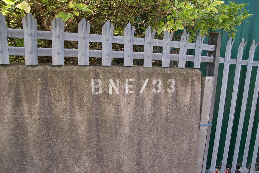
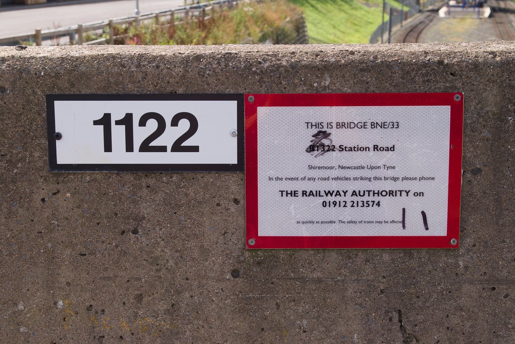
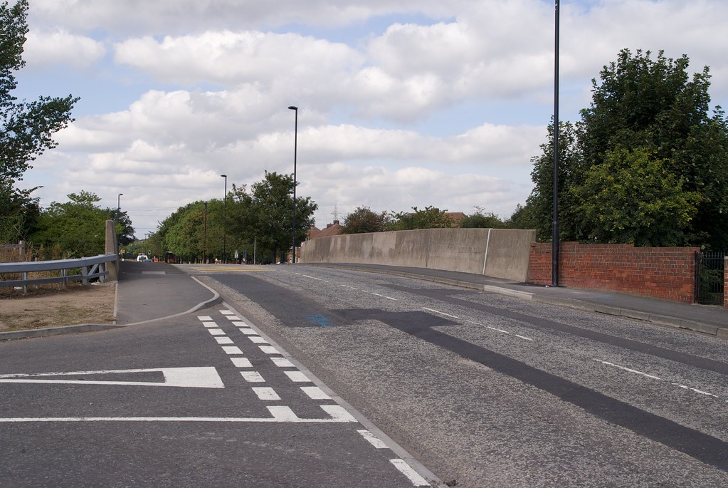
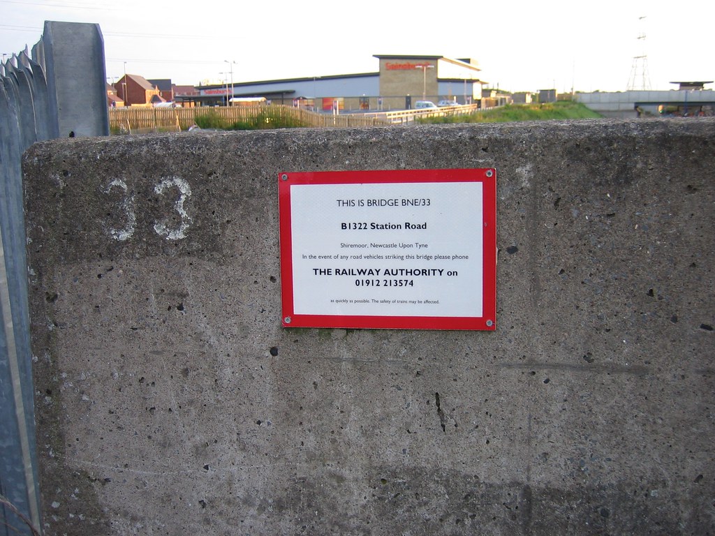
| 6m 60ch | 33 |
B1322 Station Road
             |
||
| 6m 60ch |
Backworth Junction
|
|||
| 6m 60ch |
Backworth Signal Box (First Site)
|
|||
| 6m 63ch |
Backworth Signal Box (Second Site)
|
|||
| 7m 04ch |
Occupation Crossing
|
|||
| 7m 06ch |
Cramlington Colliery Co's Wagonway
|
|||
| EJM Earsdon Junction to Morpeth | ||||
|---|---|---|---|---|
| Mileage | No. | Details | ||
| 7m 08ch |
Earsdon Junction Signal Box
|
|||
| 7m 09ch |
Earsdon Junction
|
|||
| 7m 09ch |
Wagonway Level Crossing
Later footpath crossing
|
|||
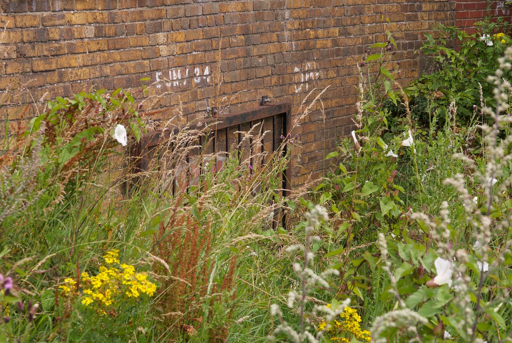
| 7m 29ch | 34 |
Backworth
   |
||
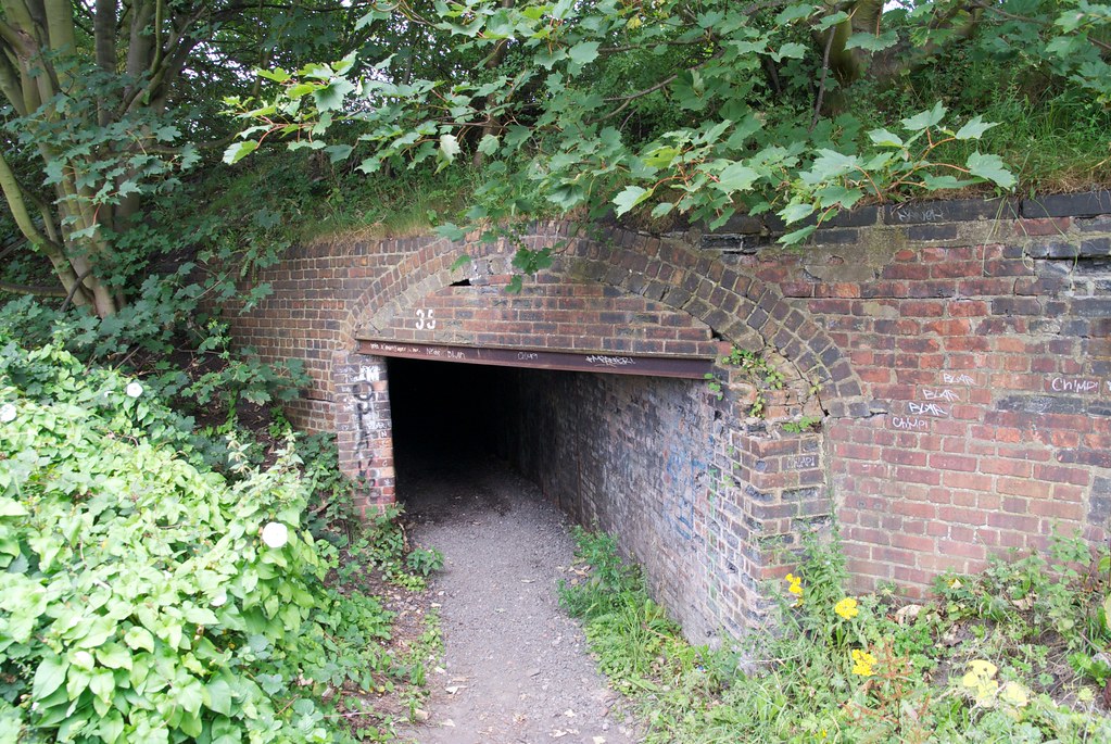
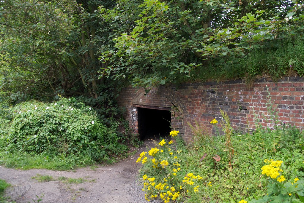
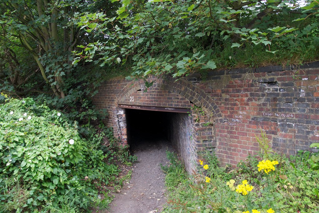
| 7m 31ch | 35 |
Stretton Way
         |
||
| 7m 40ch |
Holywell Goods Platform
|
|||
| 7m 41ch |
Holywell
|
|||
| 7m 41ch |
Holywell Goods Depot Siding
|
|||
| 7m 41ch |
Holywell Sidings Signal Box
|
|||
| 7m 46ch |
Burradon Colliery Siding
|
|||
| 7m 73ch |
Occupation Crossing
|
|||
| 8m 23ch |
Public Footpath
|
|||
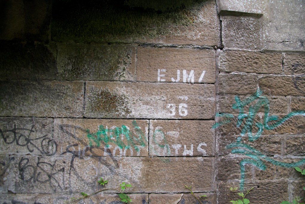
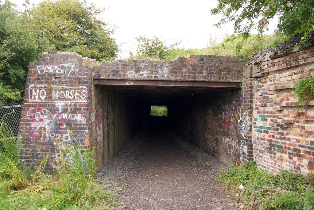
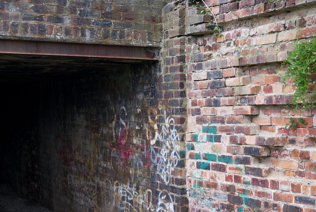
| 8m 36ch | 36 |
Feather Bird Lane
        |
||
| 8m 68ch |
Seghill South Signal Box
|
|||
| 8m 70ch | 36A |
Seaton Burn
|
||
| 9m 02ch |
Seghill Station
Platform on up side, extends from 8m77ch to 9m6ch
|
|||
| 9m 06ch |
Seghill North Signal Box (Second Site)
|
|||
| 9m 06ch |
Seghill
|
|||
| 9m 07ch |
Seghill North Signal Box (First Site)
|
|||
| 9m 07ch |
Seghill Colliery
|
|||
| 9m 09ch |
Siding
|
|||
| 9m 15ch |
Cramlington Colliery Co. Wagonway
|
|||
| 9m 31ch | 37 |
Seaton Burn
    |
||
| 9m 36ch |
Mares Close Farm
|
|||
| 9m 38ch | 38 |
Mares Close
    |
||
| 9m 77ch |
Seaton Delaval
Platforms extend from 9m74ch to 10m00ch   |
|||
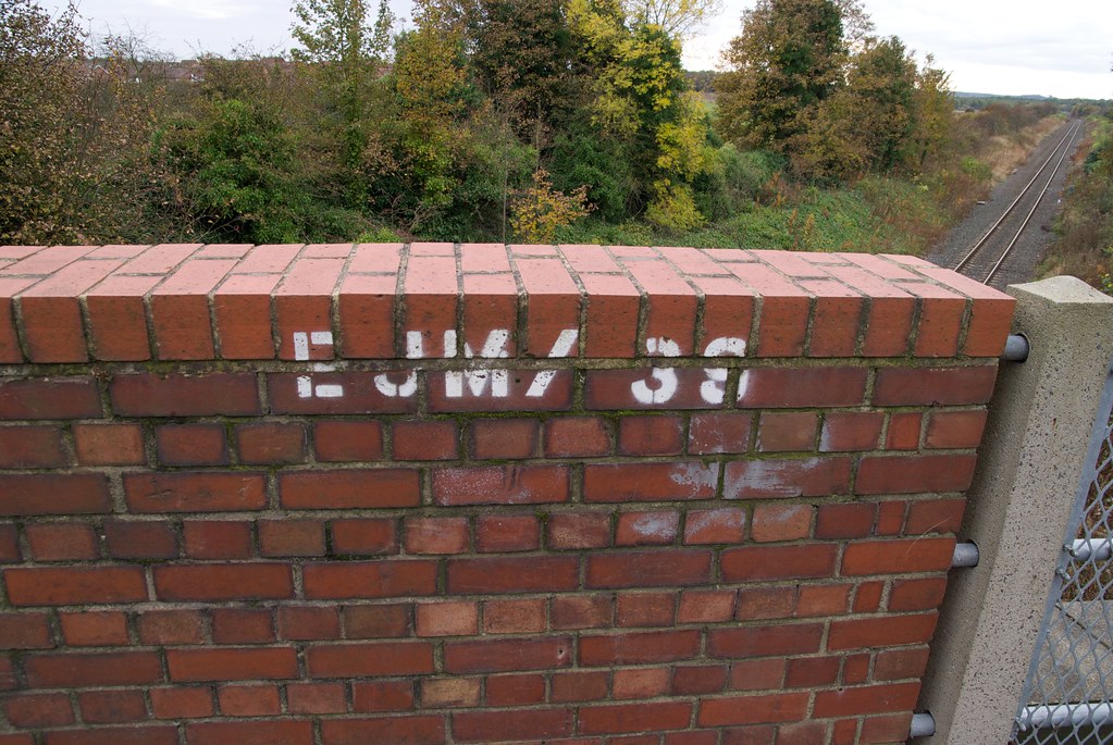
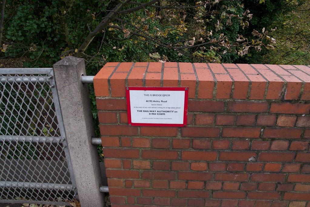
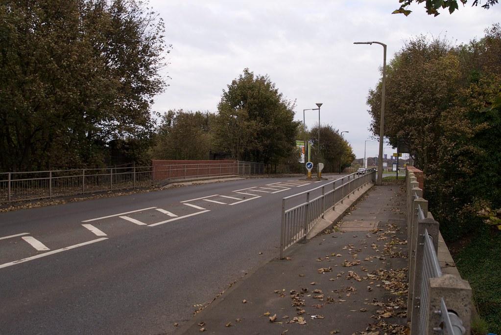
| 10m 01ch | 39 |
A192 Road
            |
||
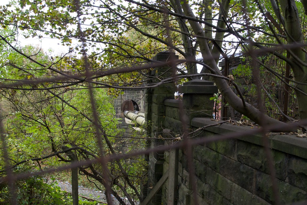
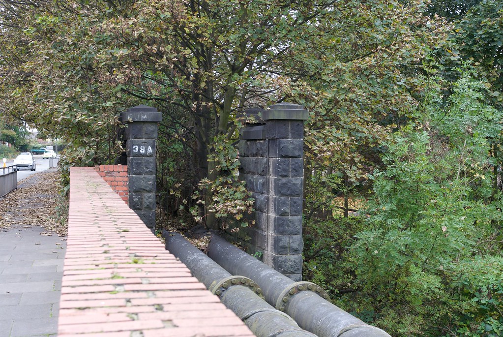
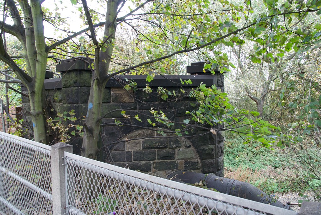
| 10m 01ch | 39A |
Water Main
     |
||
| 10m 02ch |
New Hartley Colliery
|
|||
| 10m 02ch |
Cattle Dock
|
|||
| 10m 02ch |
Seaton Delaval Signal Box
|
|||
| 10m 25ch |
Occupation Crossing
|
|||
| 10m 45ch |
Occupation Crossing
|
|||
| 11m 12ch |
Hartley Level Crossing
|
|||
| 11m 15ch |
Hartley
Platforms extend from 11m12ch to 11m18ch 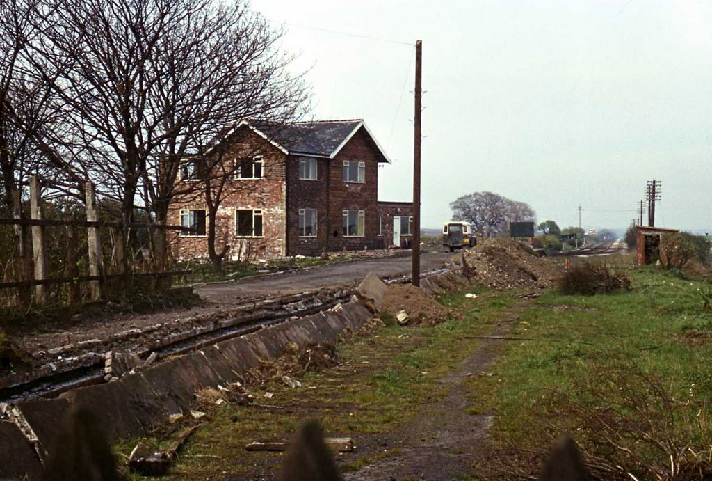 |
|||
| 11m 21ch |
Hartley Signal Box
|
|||
| 11m 22ch |
Hartley Junction
|
|||
| 11m 23ch |
Red House Farm
|
|||
| 11m 26ch | 40 |
Seaton Red House
  |
||
| 11m 27ch |
Strategic Railway Siding
|
|||
| 11m 29ch |
Occupation Crossing
|
|||
| 11m 56ch | 41 |
Meggies Burn 1
|
||
| 11m 64ch |
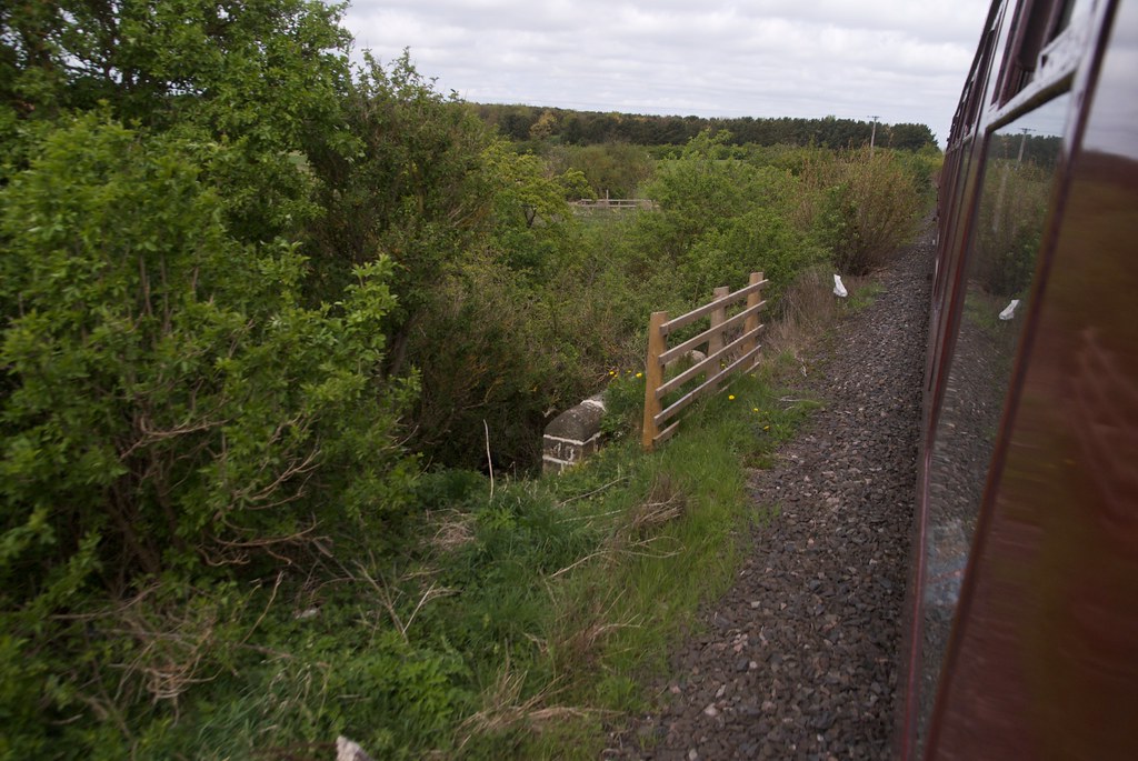
Lysdon Farm
|
|||
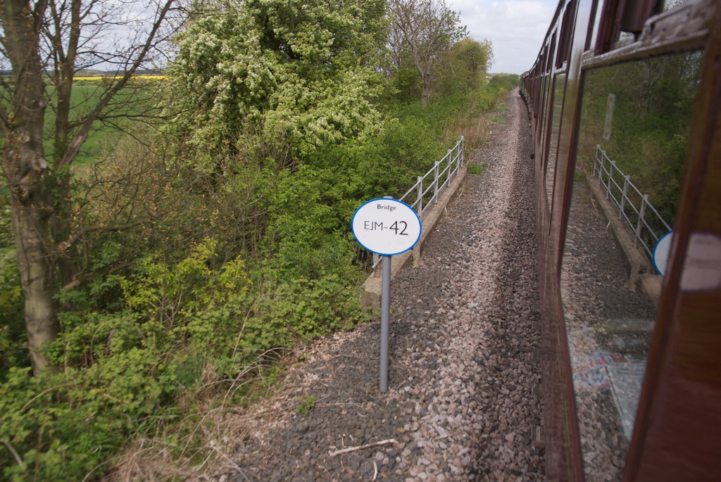
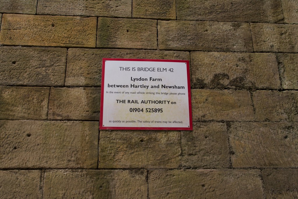
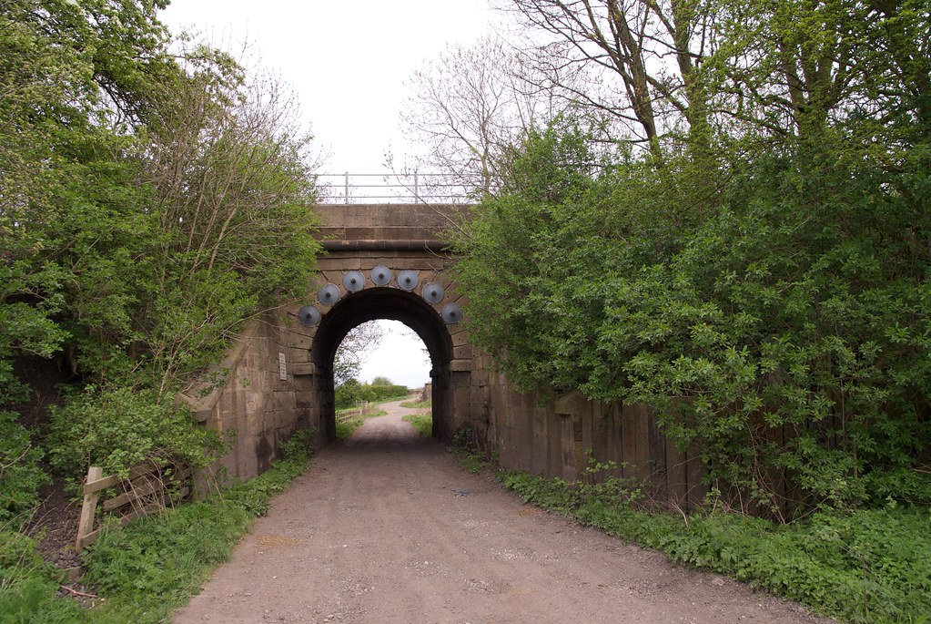
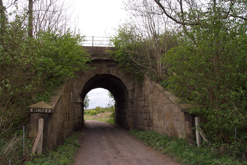
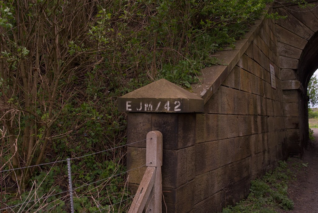
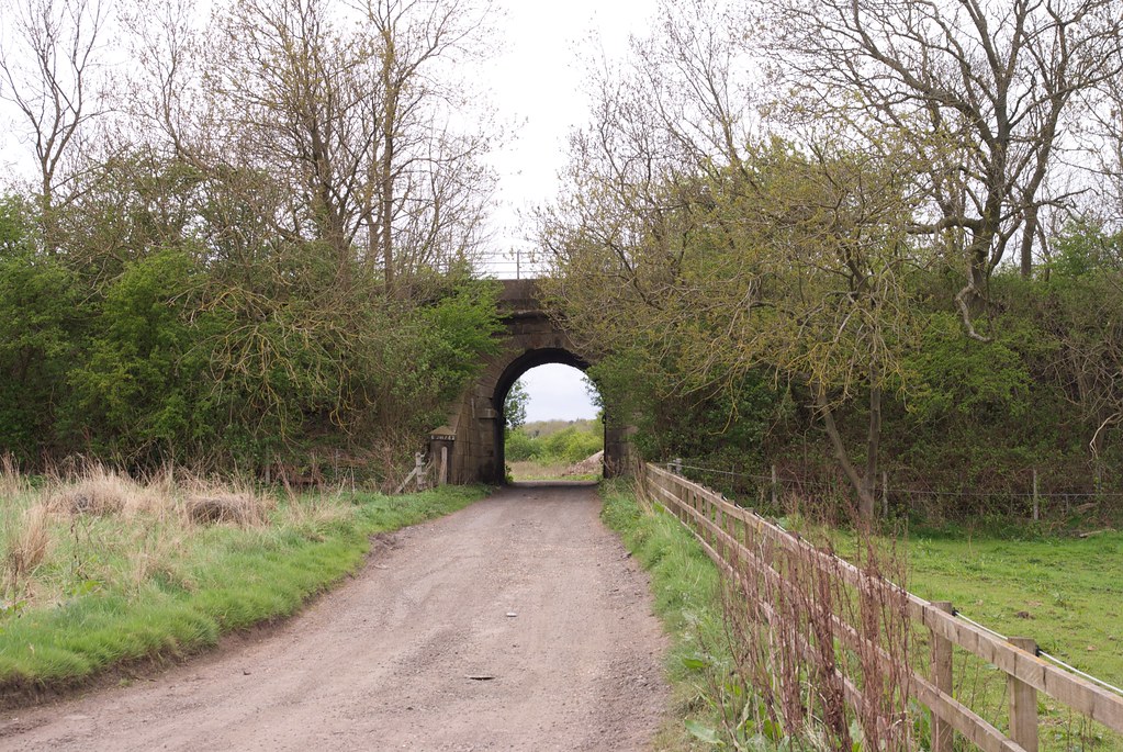
| 11m 70ch | 42 |
Lysdon Farm
       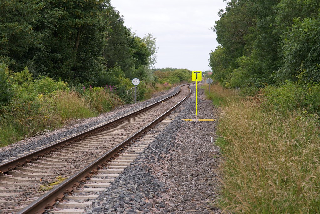 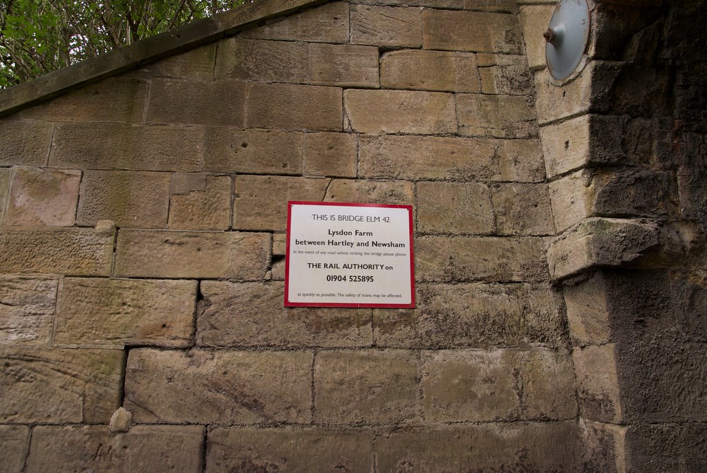 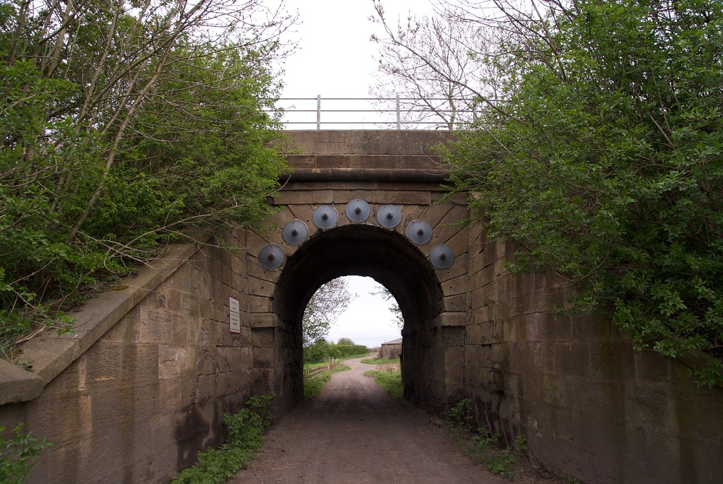 |
||
| 11m 71ch | 43 |
Lysdon Farm
  |
||
| 11m 72ch |
Lysdon Bank Signal Box (later Pway Hut)
Line diagrams have permanent way hut on down side
|
|||
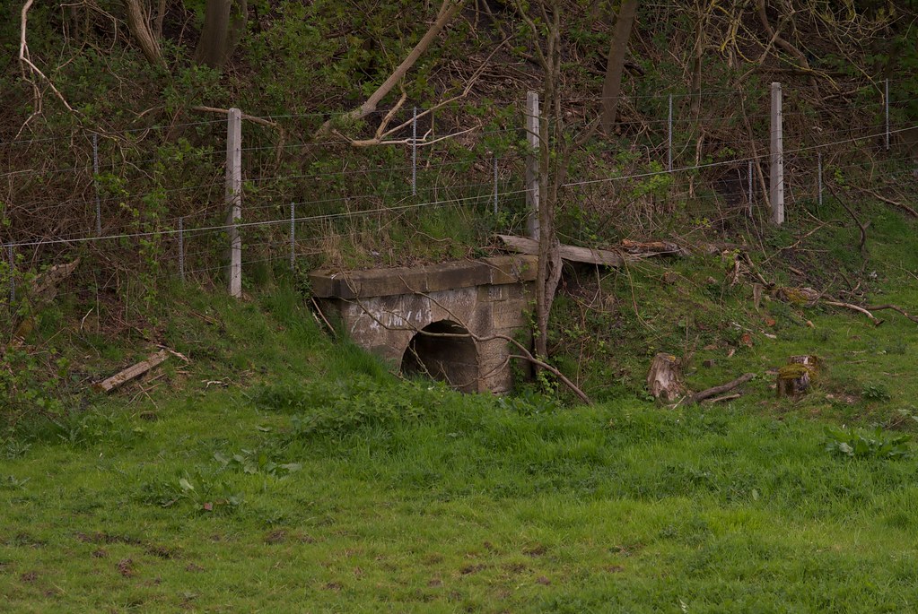
| 12m 13ch | 44 |
Meggies Burn 2
|
||
| 12m 14ch | 44A |
Culvert
|
||
| 12m 23ch |
Newsham South Dwarf Frame
|
|||
| 12m 24ch |
Siding
|
|||
| 12m 40ch |
Newsham South Junction
|
|||
| 12m 42ch |
Newsham Colliery
|
|||
| 12m 45ch |
Newsham South Signal Box
|
|||
| 12m 45ch |
Newsham Crossing
|
|||
| 12m 53ch |
Siding
|
|||
| 12m 59ch | 44B |
Culvert
|
||
| 12m 73ch |
Occupation Crossing
|
|||
| 12m 75ch |
Newsham North Junction
|
|||
| 12m 76ch |
Newsham North Signal Box
|
|||
| 12m 79ch | 45 |
Newsham Station Subway
|
||
| 13m 00ch |
Newsham
|
|||
| 13m 04ch |
Siding
|
|||
| 13m 15ch |
Plessey Road Signal Box
|
|||
| 13m 16ch |
Siding
|
|||
| 13m 16ch |
Plessey Road
|
|||
| 13m 38ch |
New Delaval Colliery Signal Box
|
|||
| 13m 40ch | 45A |
Culvert
  |
||
| m ch |
Foot Crossing
|
|||
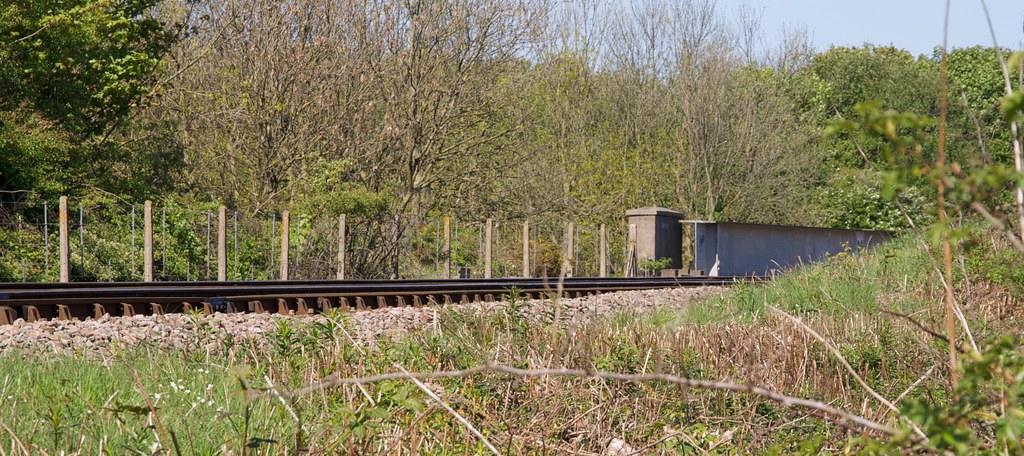
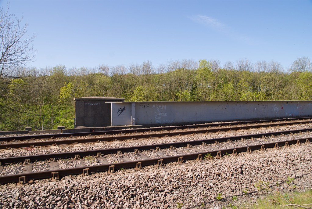
| 14m 25ch | 46 |
Pipe
  |
||
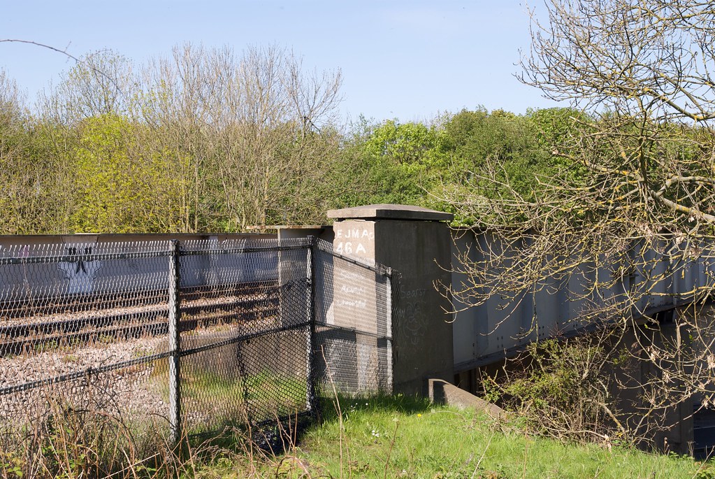
| 14m 28ch | 46A |
A189 Spine Road
        |
||
| 14m 40ch |
Foot Crossing
|
|||
| 14m 40ch |
Bebside Colliery Signal Box
|
|||
| 14m 40ch |
Bebside Colliery
|
|||
| 14m 56ch |
Horton Grange Colliery
|
|||
| 14m 60ch |
Bebside
|
|||
| 14m 64ch |
Bebside (A193 Road)
|
|||
| 14m 65ch |
Bebside Signal Box
|
|||
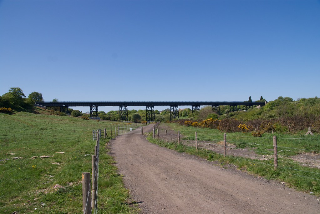
|
15m
17ch to 15m 29ch |
47 |
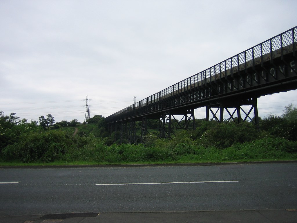
Bedlington Viaduct
    |
||
| 15m 31ch | 48 |
Underline Bridge
|
||
| 15m 56ch |
Furnace Way Sidings
|
|||
| 15m 60ch |
Bedlington South Signal Box
|
|||
| 15m 61ch |
Bedlington South (B1330 Road)
|
|||
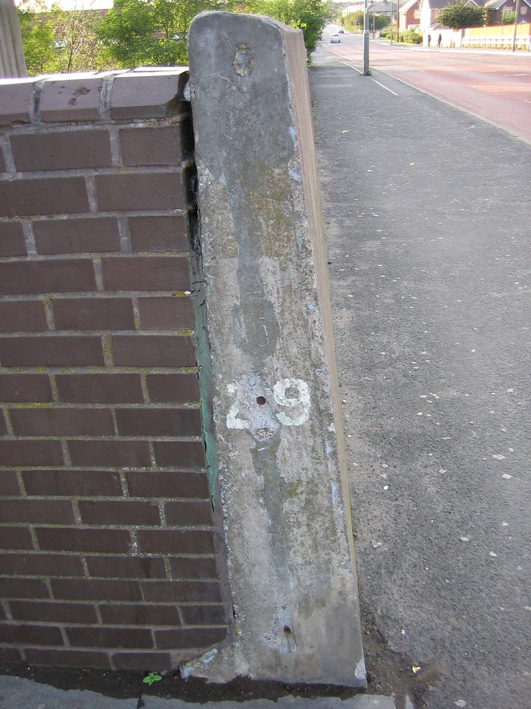
| 15m 61ch | 49 |
Footbridge
|
||
| 15m 61ch |
Bedlington Collieries
'A' colliery closed 25.09.1971, 'D' colliery closed 01.03.1968.
|
|||
| 15m 65ch |
Bedlington
Platform on up side, extends from 15m61ch to 15m68ch
|
|||
| 15m 68ch |
Bedlington Junction
|
|||
| 15m 71ch |
Bedlington North Signal Box
|
|||
| 15m 72ch |
Bedlington North
Reduced to footpath crossing with wicket gates when road closed
|
|||
| 15m 74ch |
Siding
|
|||
| 16m 15ch |
Coatsworth Farm No. 1
    |
|||
| 16m 15ch |
Occupation Crossing
|
|||
| 16m 23ch | 50 |
Culvert
 |
||
| 16m 26ch |
Coatsworth Farm No. 2
  |
|||
| 16m 32ch |
Barrington Colliery
|
|||
| 16m 32ch |
Barrington Colliery Junction Signal Box
|
|||
| 16m 35ch |
Occupation Crossing
|
|||
| 16m 48ch | 51 |
Culvert
|
||
| 16m 54ch |
Foot Crossing
|
|||
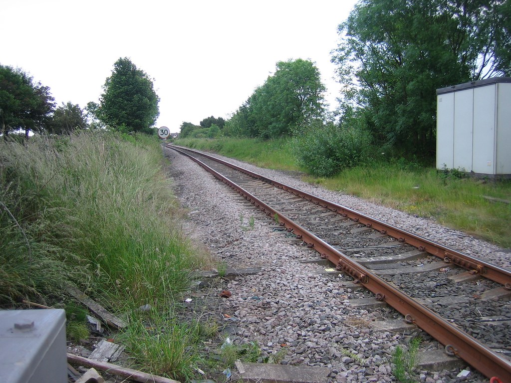
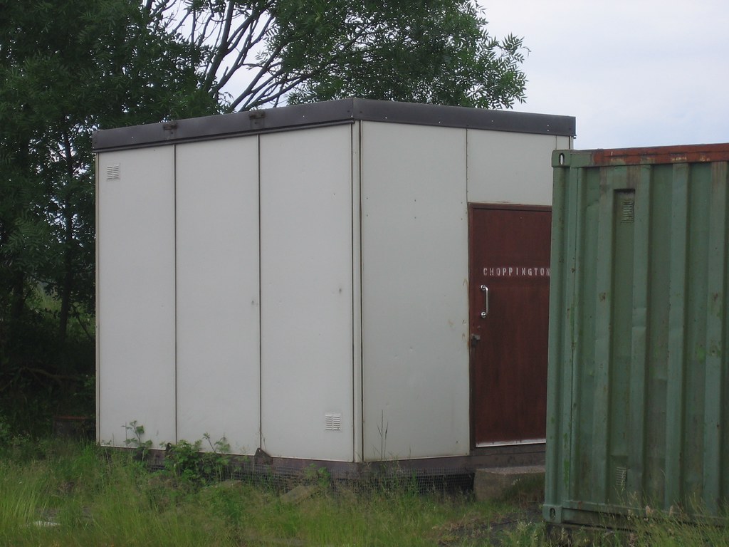
| 17m 06ch |
Choppington Signal Box
|
|||
| 17m 06ch |
Royal Jubilee Brick Works
|
|||
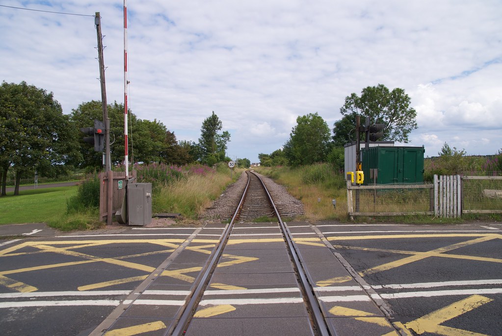
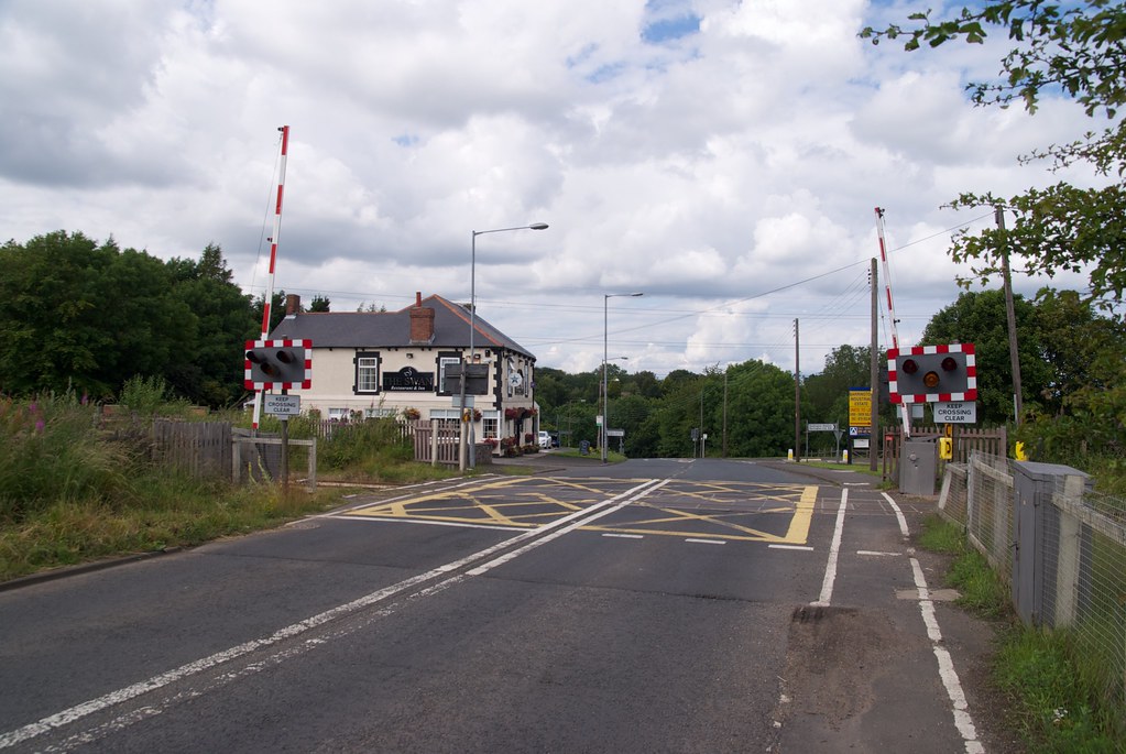
| 17m 06ch |
Choppington (A1068 Road)
         |
|||
| 17m 11ch |
Choppington
Platforms extend from 17m7ch to 17m14ch
|
|||
| 17m 17ch |
Siding
|
|||
| 17m 20ch |
Goods Siding
|
|||
| 17m 22ch | 52 |
Culvert
|
||
| 17m 23ch |
Netherton Hall Colliery Branch Junction
Change from double to single track. Down line continues as branch to colliery, up line continues to Morpeth
|
|||
| 17m 24ch |
Choppington Colliery Signal Box
|
|||
| 17m 26ch |
Choppington Colliery
'A' colliery closed 16.07.1966, 'B' colliery closed 18.02.1966
|
|||
| 17m 30ch |
Choppington Brick Works
|
|||
| 17m 40ch |
Occupation Crossing
|
|||
| 17m 55ch |
Choppington
|
|||
| 18m 04ch |
Private Footpath
|
|||
| 18m 09ch | 53 |
Catch Burn
|
||
| 18m 40ch |
Hepscott Colliery
|
|||
| 18m 40ch |
Barmoor East Ground Frame
|
|||
| 18m 42ch |
Hepscott Colliery (Barmoor East) Signal Box
Later converted to ground frame
|
|||
| 19m 18ch |
Hepscott
Platform on up side
|
|||
| 19m 20ch |
Hepscott station siding
|
|||
| 19m 21ch |
Hepscott Signal Box
|
|||
| 19m 21ch |
Hepscott Lane
         |
|||
| 19m 39ch |
Parkside Farm
 |
|||
| 19m 44ch |
Hepscott Junction
  |
|||
| HJM Hepscott Junction to Morpeth Junction | ||||
|---|---|---|---|---|
| Mileage | No. | Details | ||
| 19m 53ch |
Occupation Crossing
|
|||
| 19m 66ch |
Occupation Crossing
|
|||
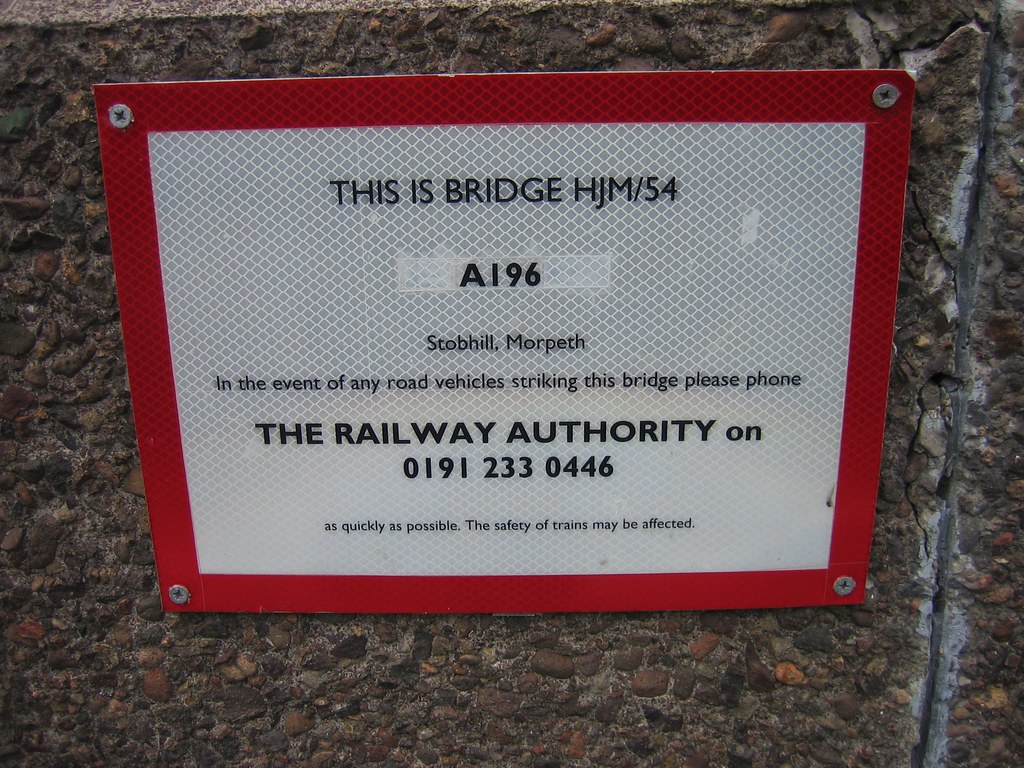
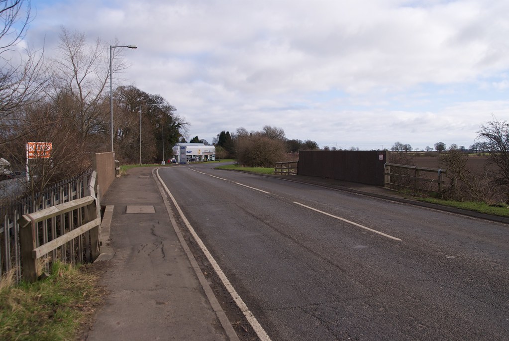
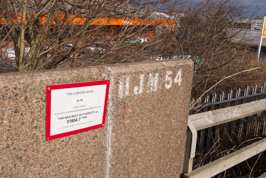
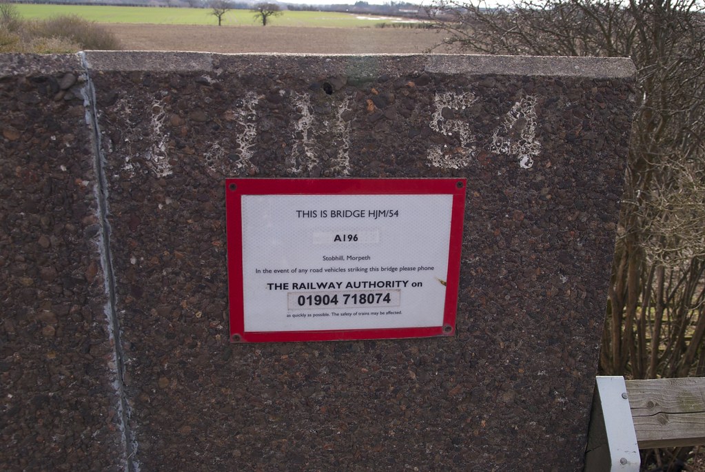
| 19m 79ch | 54 |
A196 Road
         |
||
| 20m 07ch |
Barmoor Colliery
|
|||
| 20m 10ch |
Barmoor Colliery Junction Signal Box
|
|||
| 20m 23ch |
Occupation Crossing
|
|||
| 20m 23ch |
Barmoor Sidings South
|
|||
| 20m 30ch |
Morpeth Goods Depot Lines (B&T Freight Sidings)
|
|||
| 20m 35ch |
B&T Goods Sidings
|
|||
| 20m 39ch |
Barmoor Sidings North
     |
|||
| 20m 40ch |
Morpeth Signal Box
|
|||
| 20m 40ch |
Coopies Lane
     |
|||
| 20m 41ch |
B&T bay platforms, converted to sidings in 1969
|
|||
| 20m 45ch |
Siding
|
|||
| 20m 46ch |
Morpeth Junction
|
|||
| 20m 53ch |
Morpeth
Morpeth (Bay platforms, later goods depot)
|
|||
Sources used:
- Line Diagrams of the North Eastern Railway: North Tyneside and Blyth Area, North Eastern Railway Association, 2012.