|
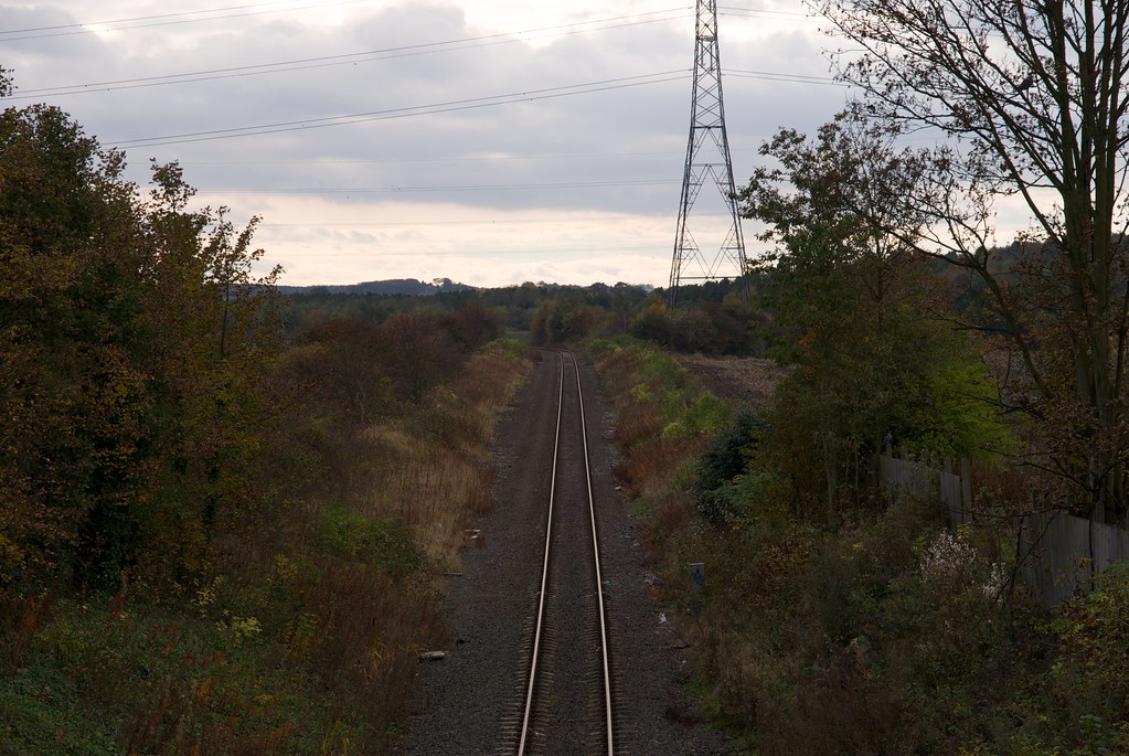
0m
35ch
|
 |
4 |
Line Diagrams of the North Eastern Railway: North Tyneside and Blyth Area, North Eastern Railway Association, 2012.
|
Camden Street
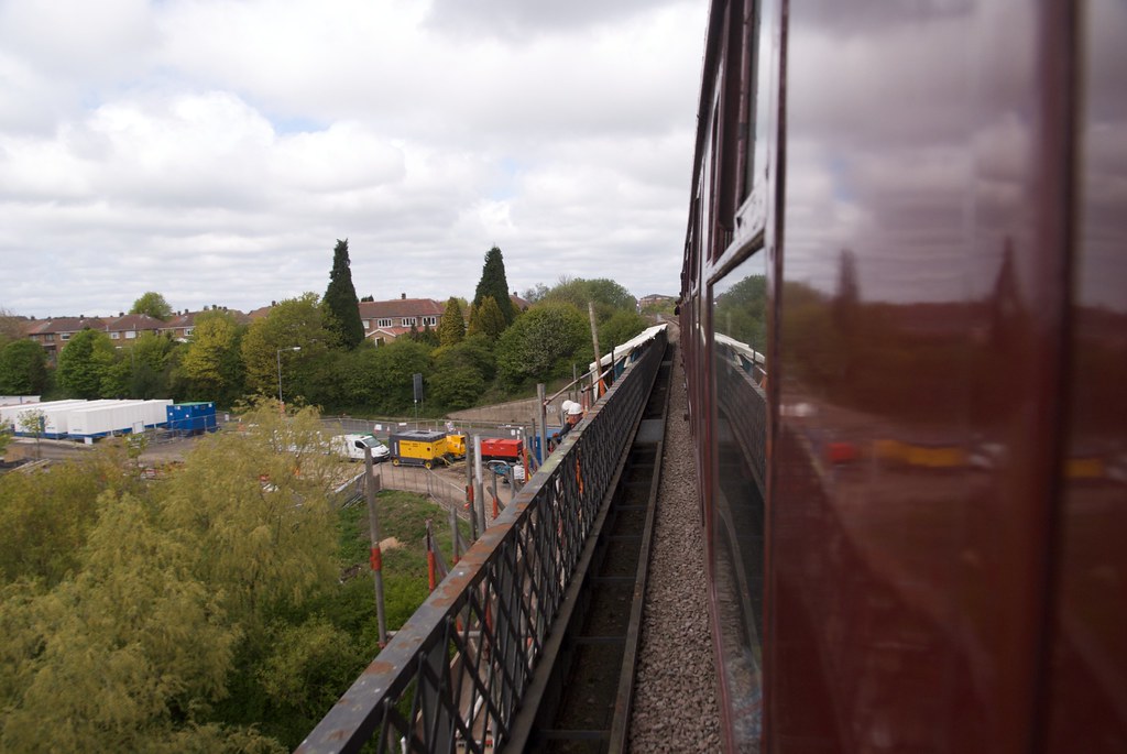
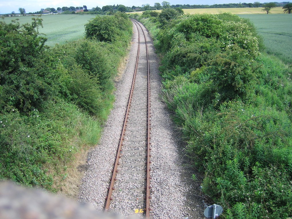
|
|
|
0m
51ch
|
|
5 |
Line Diagrams of the North Eastern Railway: North Tyneside and Blyth Area, North Eastern Railway Association, 2012.
|
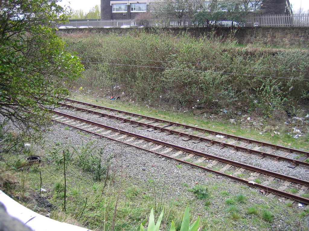
Sandyford Road
|
|
|
0m
61ch
|
|
6 |
Line Diagrams of the North Eastern Railway: North Tyneside and Blyth Area, North Eastern Railway Association, 2012.
|
Jesmond Road
|
|
|
0m
79ch
|
|
7 |
Line Diagrams of the North Eastern Railway: North Tyneside and Blyth Area, North Eastern Railway Association, 2012.
|
Clayton Road
|
|
|
1m
06ch
|
|
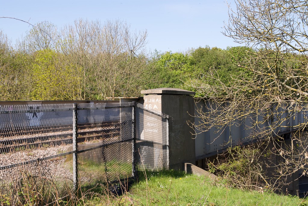
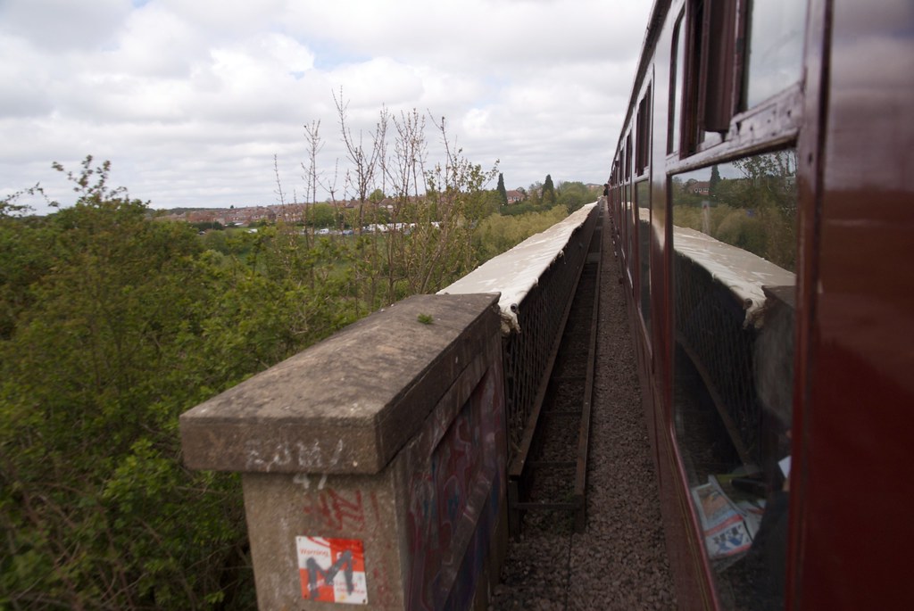
8 |
Line Diagrams of the North Eastern Railway: North Tyneside and Blyth Area, North Eastern Railway Association, 2012.
|
Haldane Terrace
|
|
|
1m
25ch
|
 |
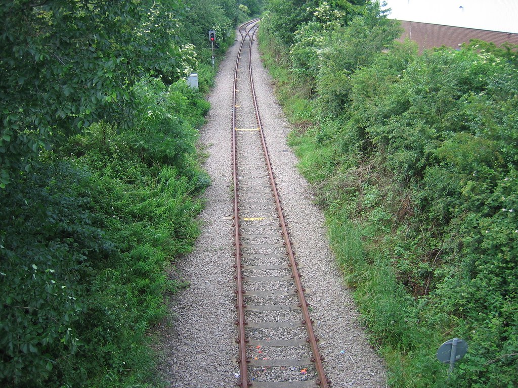
9 |
Line Diagrams of the North Eastern Railway: North Tyneside and Blyth Area, North Eastern Railway Association, 2012.
|
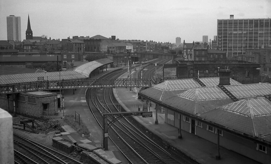
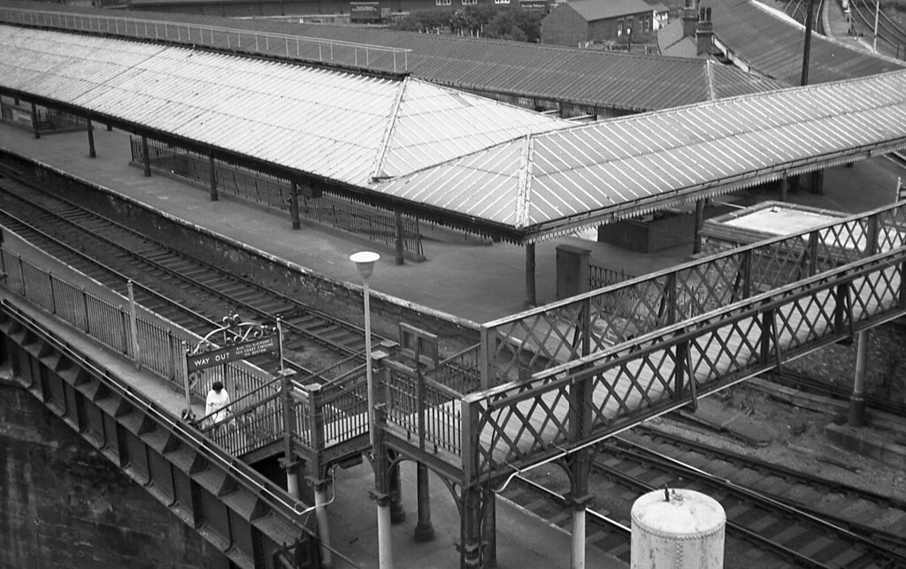
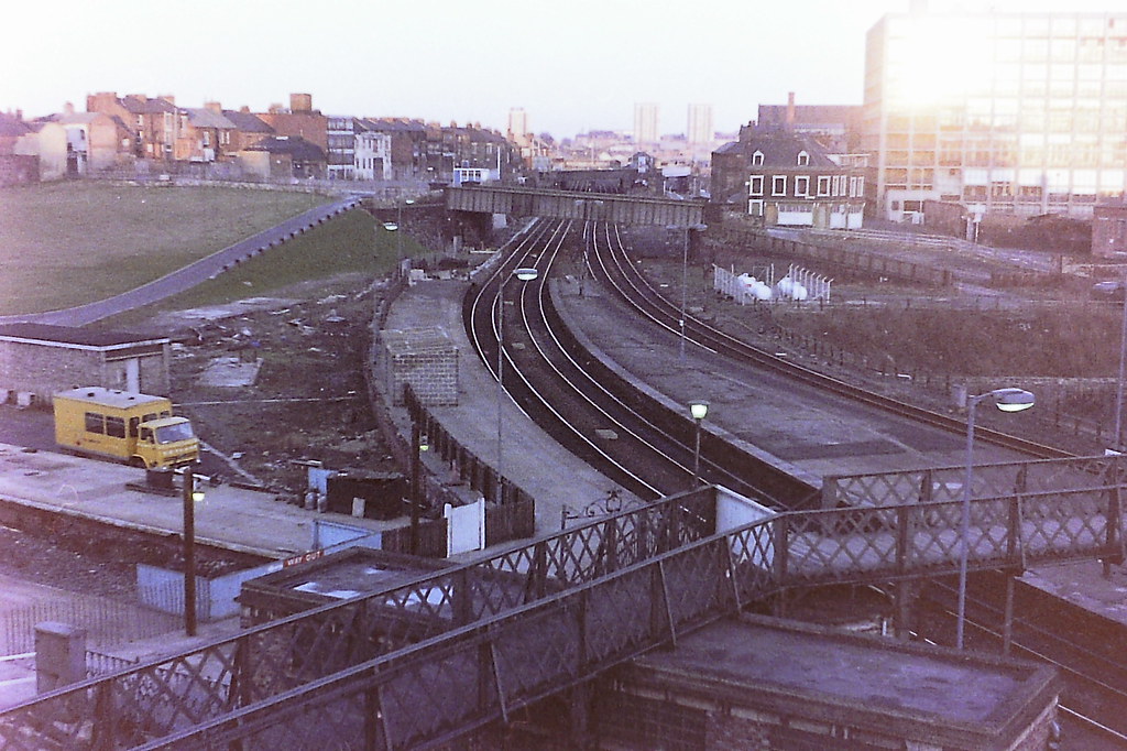
Footbridge
|
|
|
1m
31ch
|
|
10 |
Line Diagrams of the North Eastern Railway: North Tyneside and Blyth Area, North Eastern Railway Association, 2012.
|
Forsyth Road
|
|
|
1m
44ch
|
 |
11 |
Line Diagrams of the North Eastern Railway: North Tyneside and Blyth Area, North Eastern Railway Association, 2012.
|
West Jesmond Station Subway
|
|
|
1m
57ch
|
|
12 |
Line Diagrams of the North Eastern Railway: North Tyneside and Blyth Area, North Eastern Railway Association, 2012.
|
Lyndurst Terrace
|
|
|
1m
68ch
|
|
13 |
Line Diagrams of the North Eastern Railway: North Tyneside and Blyth Area, North Eastern Railway Association, 2012.
|
Jesmond Dene Road
|
|
|
1m
74ch
|
|
14 |
Line Diagrams of the North Eastern Railway: North Tyneside and Blyth Area, North Eastern Railway Association, 2012.
|
Moorfield Bridge
|
|
|
2m
23ch
|
|
15 |
Line Diagrams of the North Eastern Railway: North Tyneside and Blyth Area, North Eastern Railway Association, 2012.
|
Stoneyhurst Road
|
|
|
2m
35ch
|
|
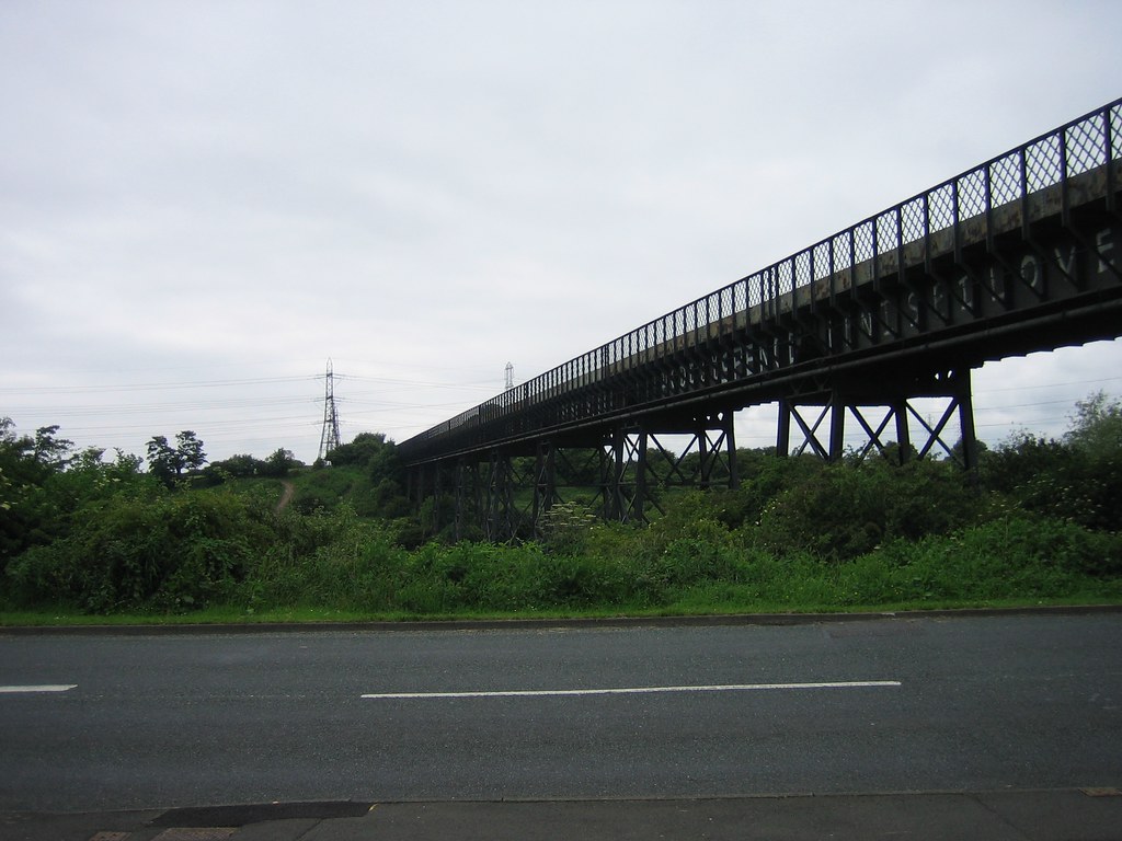
16 |
Line Diagrams of the North Eastern Railway: North Tyneside and Blyth Area, North Eastern Railway Association, 2012.
|
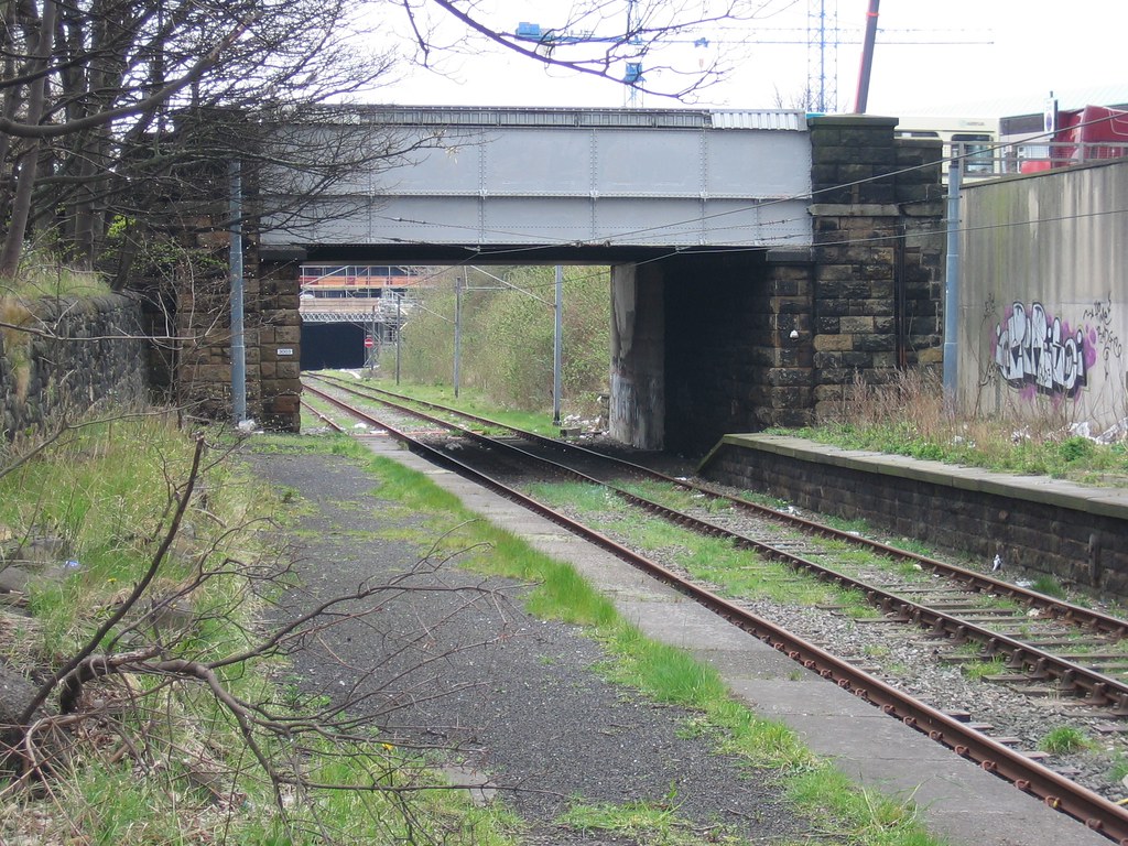
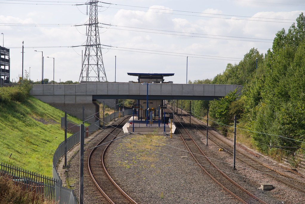
South Gosforth Station Footbridge
|
|
|
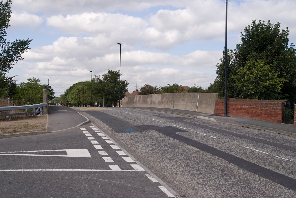
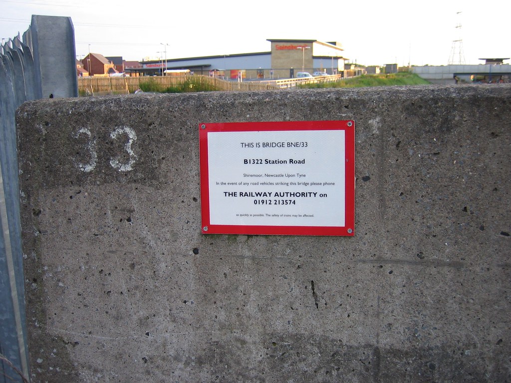
2m
36ch
|
|
17 |
Line Diagrams of the North Eastern Railway: North Tyneside and Blyth Area, North Eastern Railway Association, 2012.
|
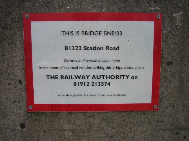
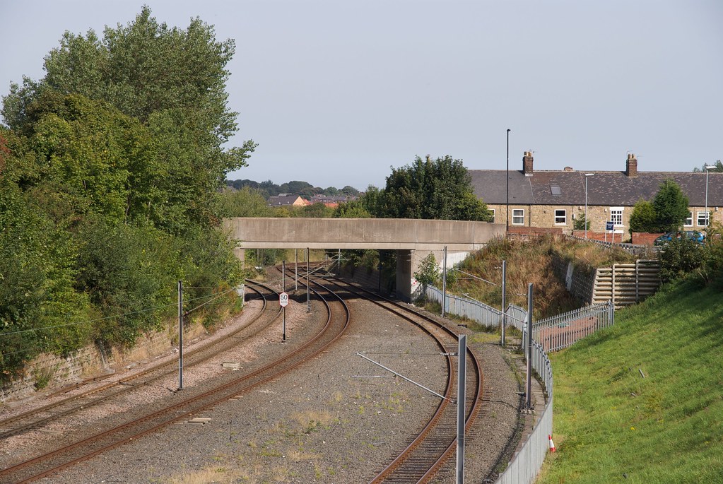
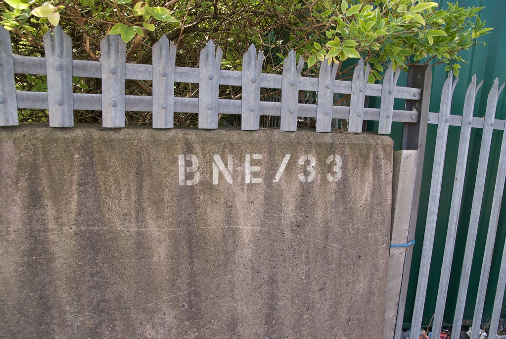
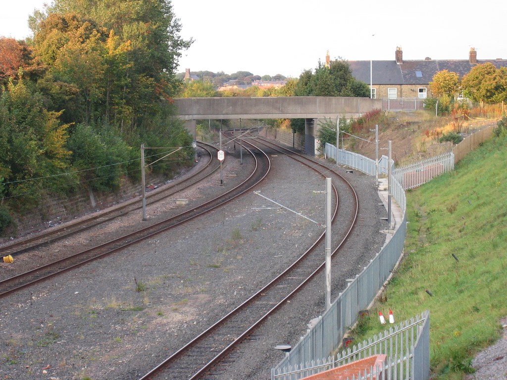
Station Road
|
|
|
2m
64ch
|
|
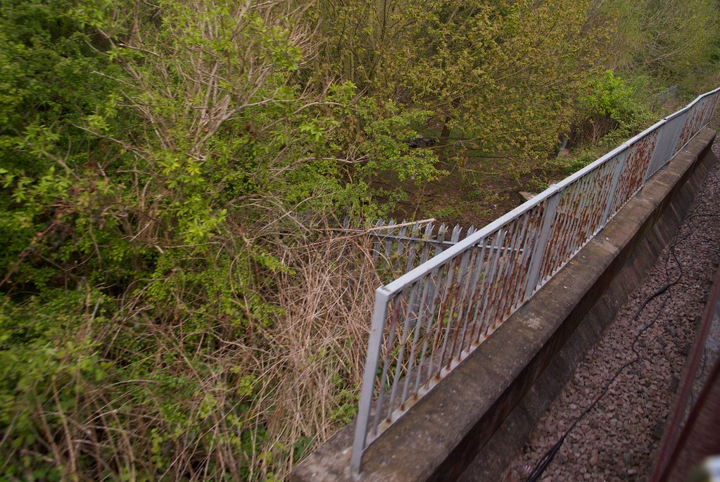
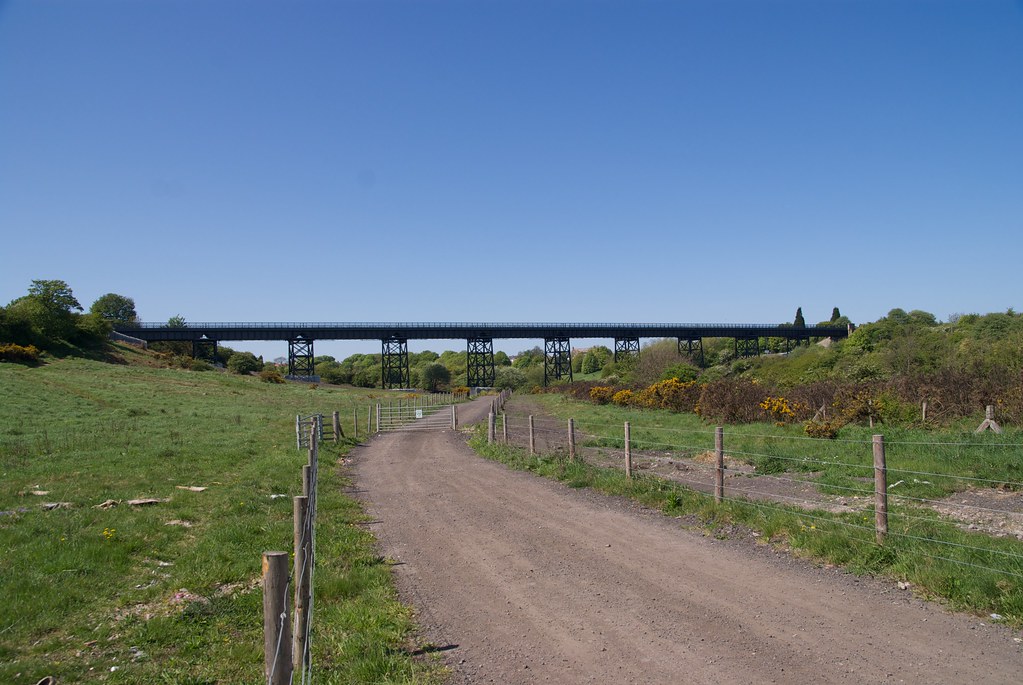
18 |
Line Diagrams of the North Eastern Railway: North Tyneside and Blyth Area, North Eastern Railway Association, 2012.
|
Footbridge
|
|
|
2m
69ch
|
 |
19 |
Line Diagrams of the North Eastern Railway: North Tyneside and Blyth Area, North Eastern Railway Association, 2012.
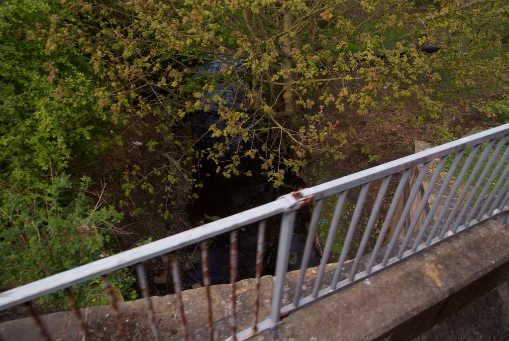
|
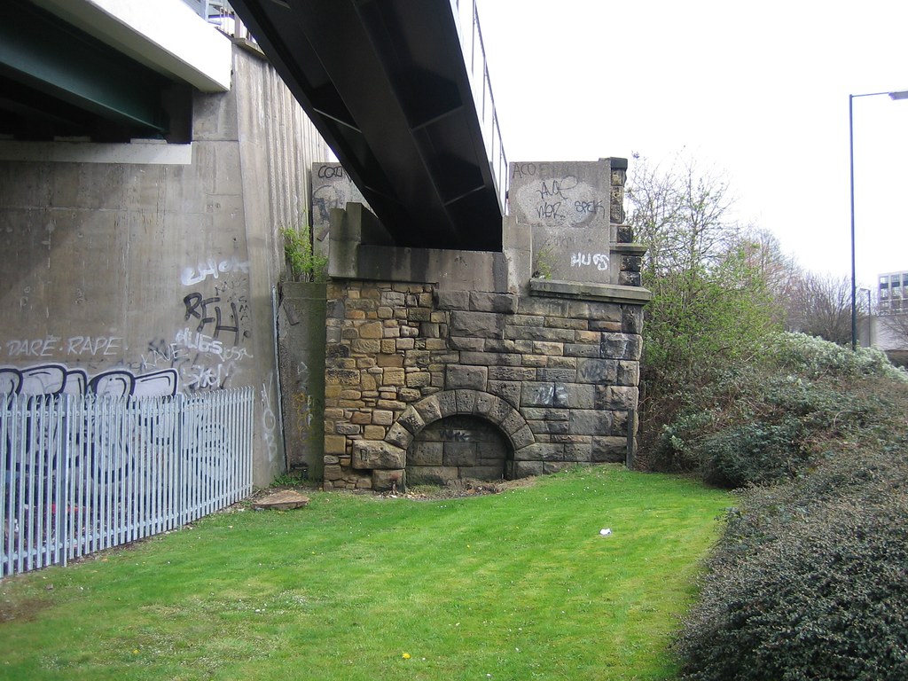
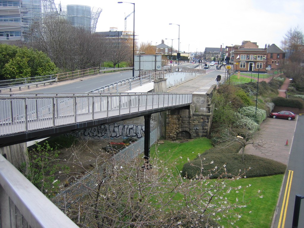
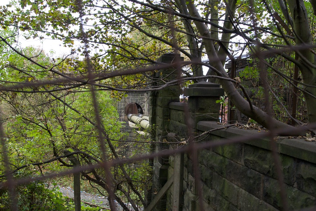
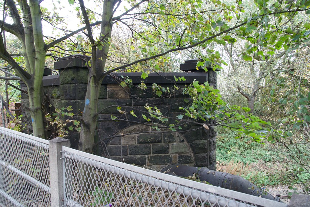
Ouse Burn
|
|
|
2m
73ch
|
|
20 |
Line Diagrams of the North Eastern Railway: North Tyneside and Blyth Area, North Eastern Railway Association, 2012.
|
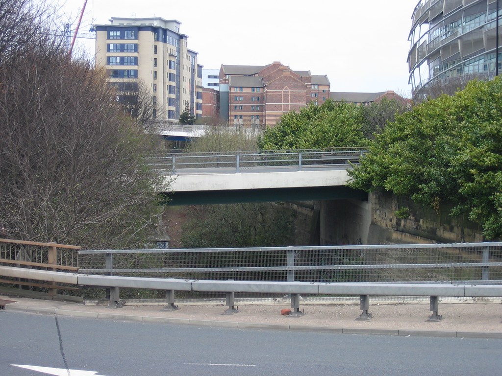
Killingworth Road
|
|
|
3m
05ch
|
|
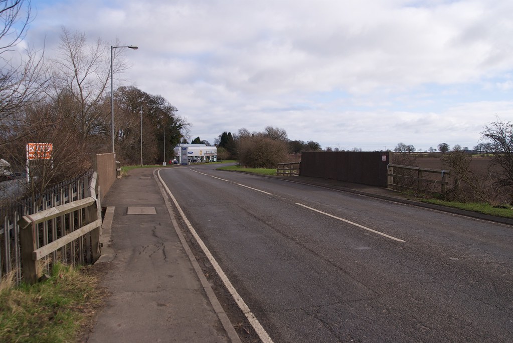
21 |
Line Diagrams of the North Eastern Railway: North Tyneside and Blyth Area, North Eastern Railway Association, 2012.
|
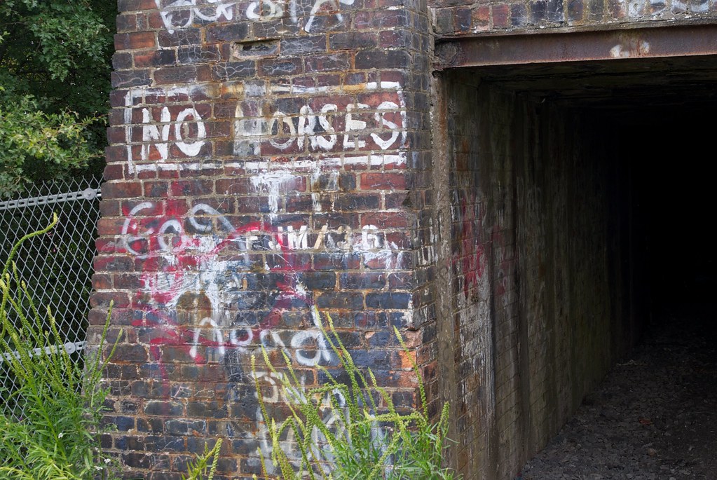
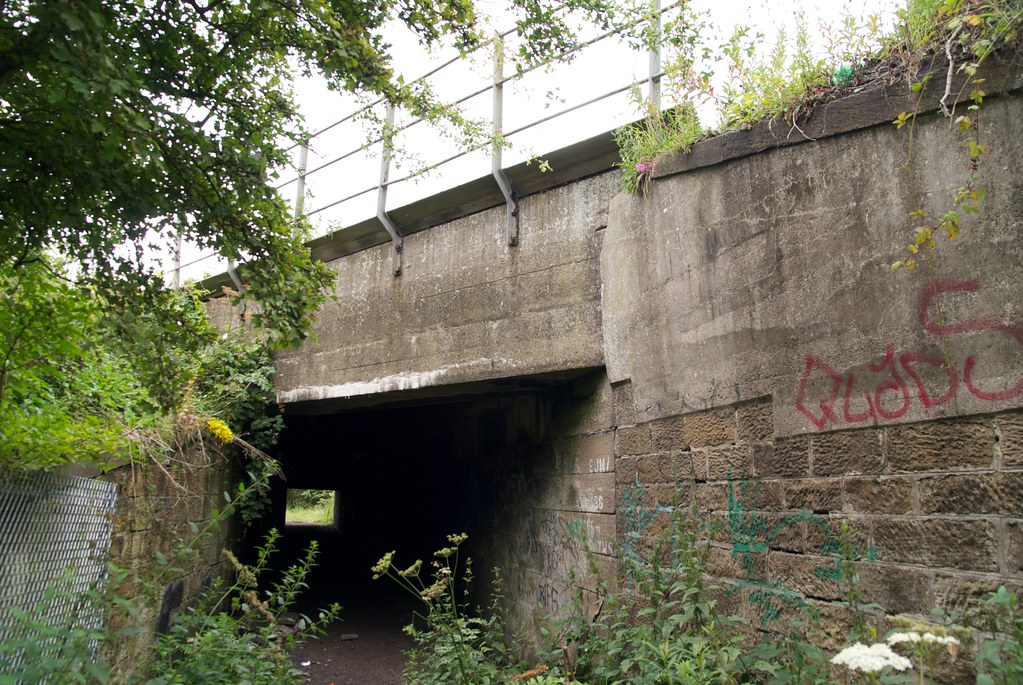
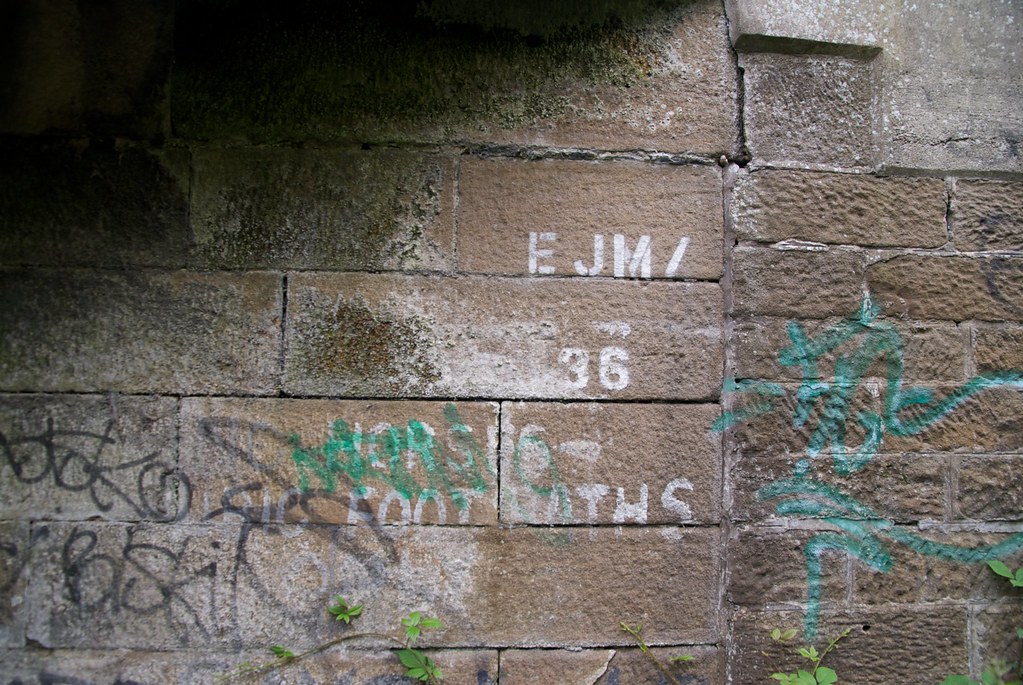
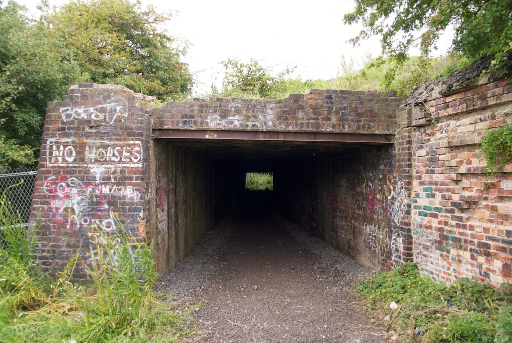
Occupation Road
|
|
|
3m
22ch
|
|
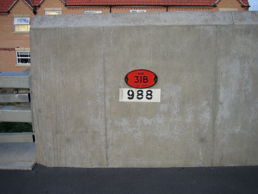
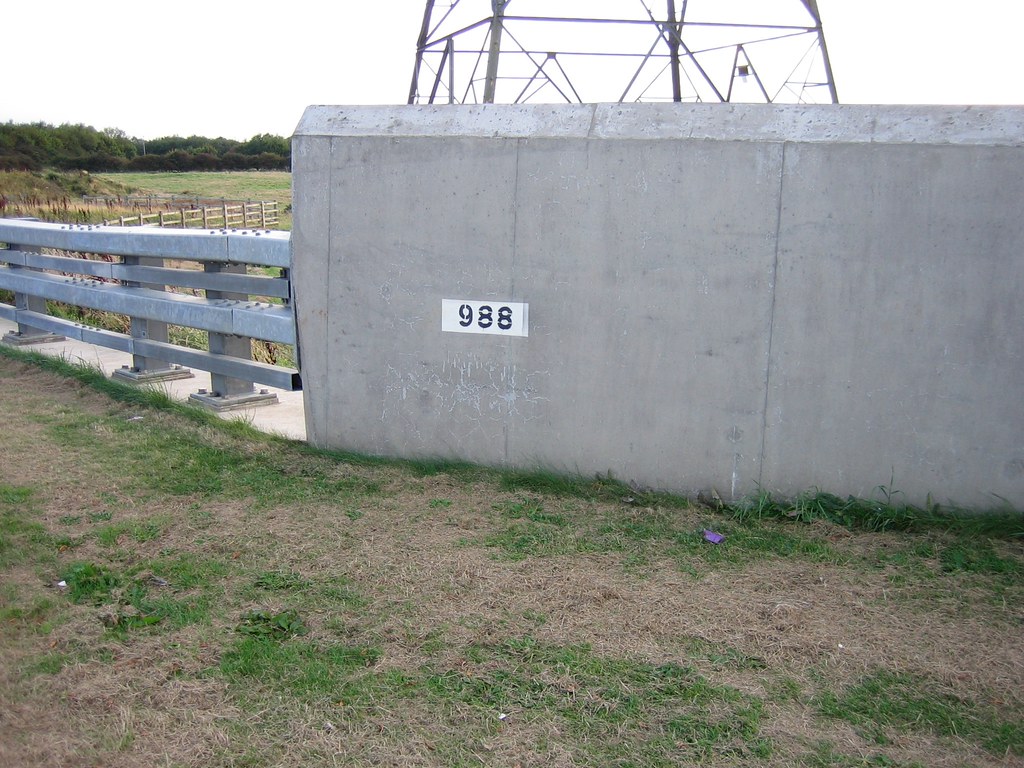
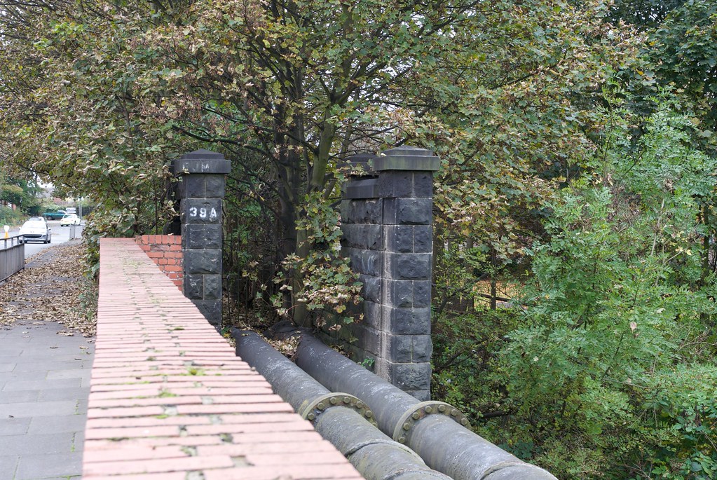
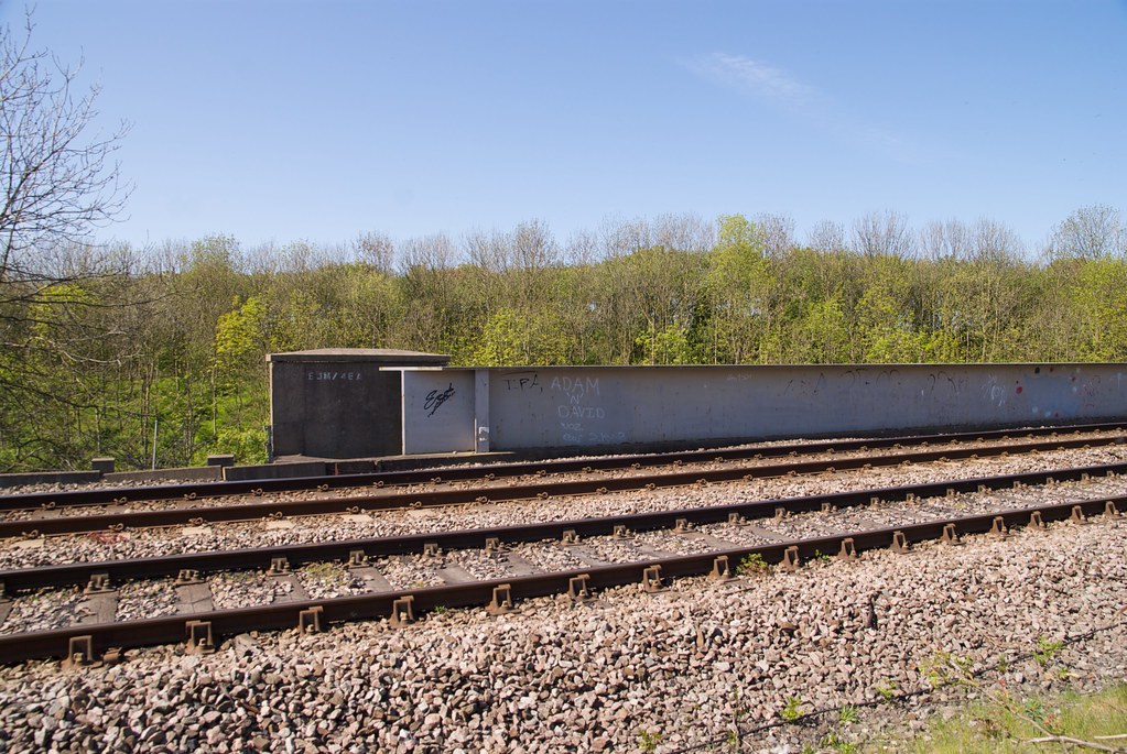
21A |
|
Longbenton Station Footbridge
|
|
|
3m
63ch
|
|
22 |
Line Diagrams of the North Eastern Railway: North Tyneside and Blyth Area, North Eastern Railway Association, 2012.
|
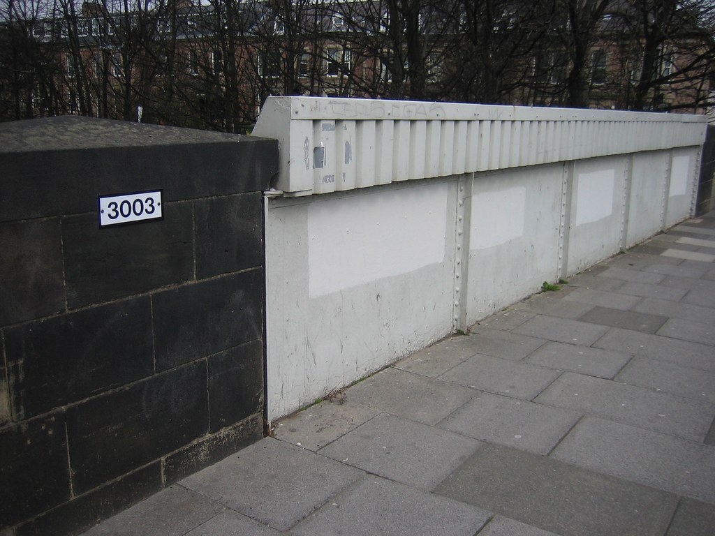
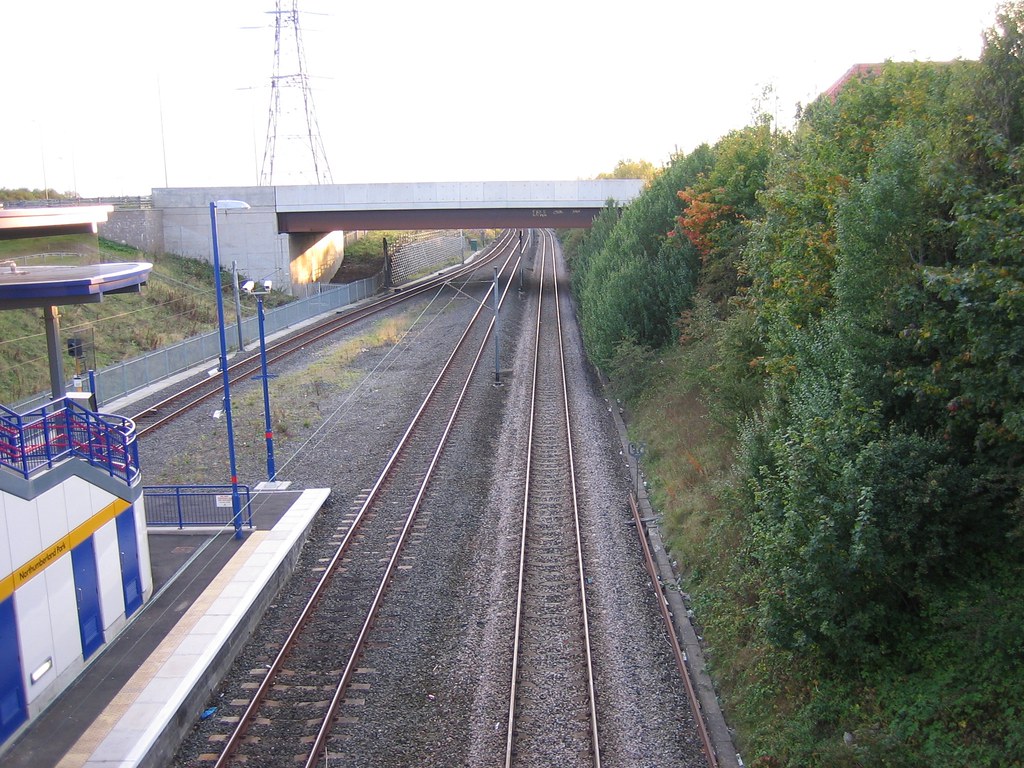
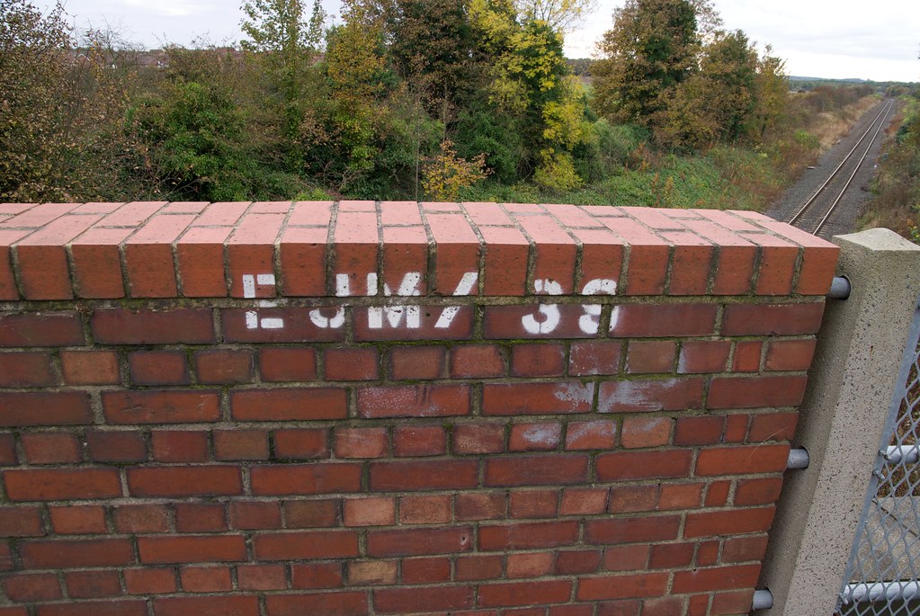
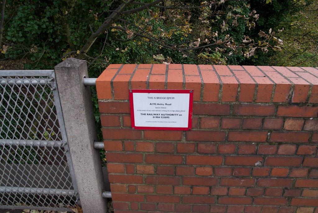
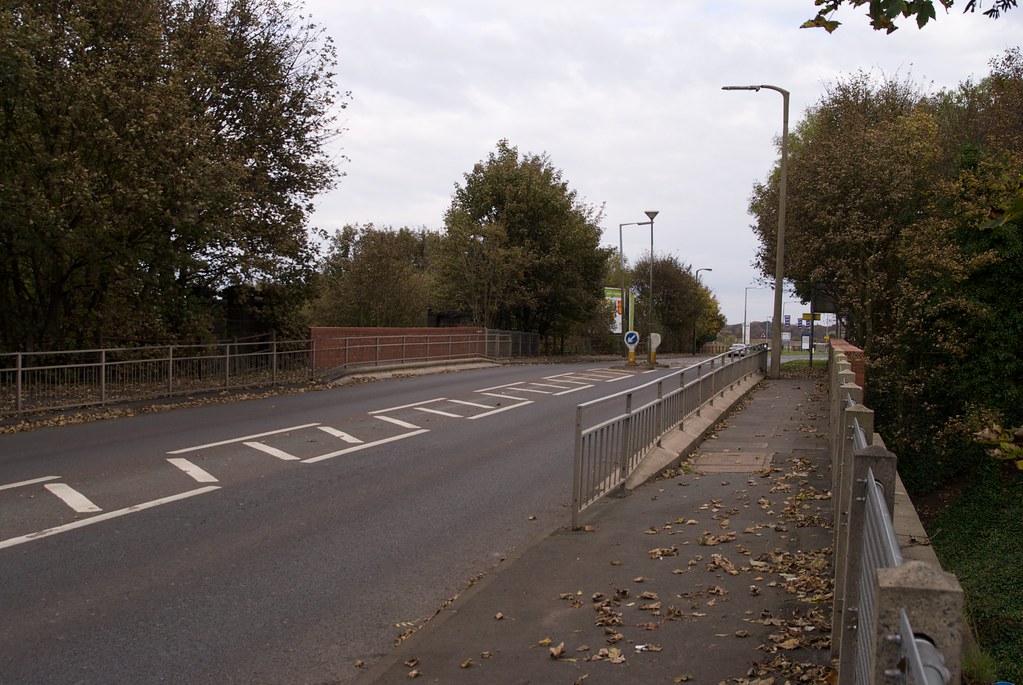
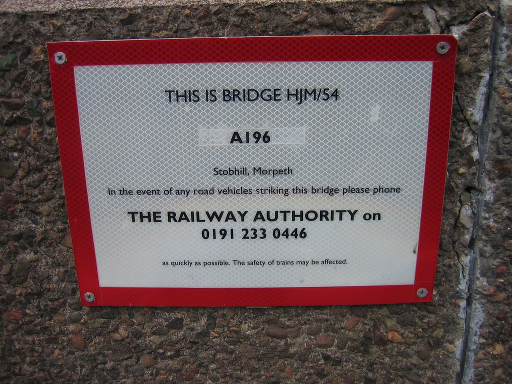
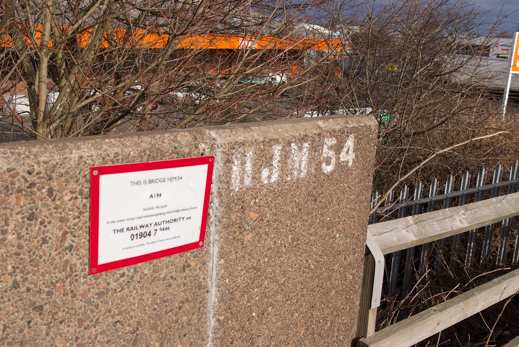
A188 Road
|
|
|
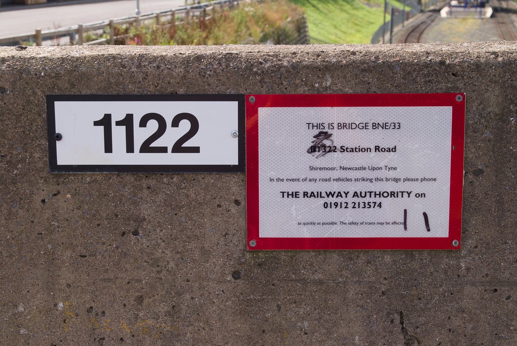
3m
75ch
|
|
23 |
Line Diagrams of the North Eastern Railway: North Tyneside and Blyth Area, North Eastern Railway Association, 2012.
|
Occupation Road
|
|
|
4m
03ch
|
|
24 |
Line Diagrams of the North Eastern Railway: North Tyneside and Blyth Area, North Eastern Railway Association, 2012.
|
Occupation Road
|
|
|
4m
25ch
|
|
25 |
Line Diagrams of the North Eastern Railway: North Tyneside and Blyth Area, North Eastern Railway Association, 2012.
|
Benton Station Footbridge
|
|
|
4m
26ch
|
|
26 |
Line Diagrams of the North Eastern Railway: North Tyneside and Blyth Area, North Eastern Railway Association, 2012.
|
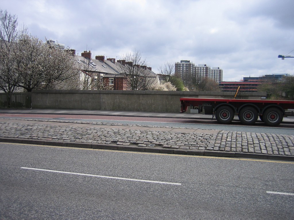
Public Road
|
|
|
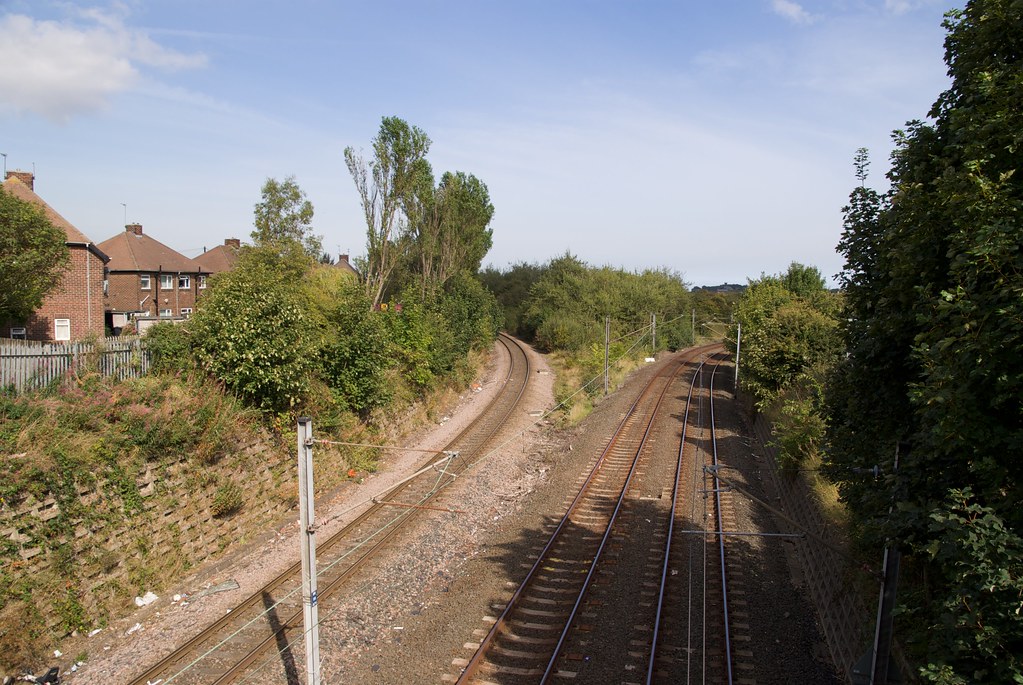
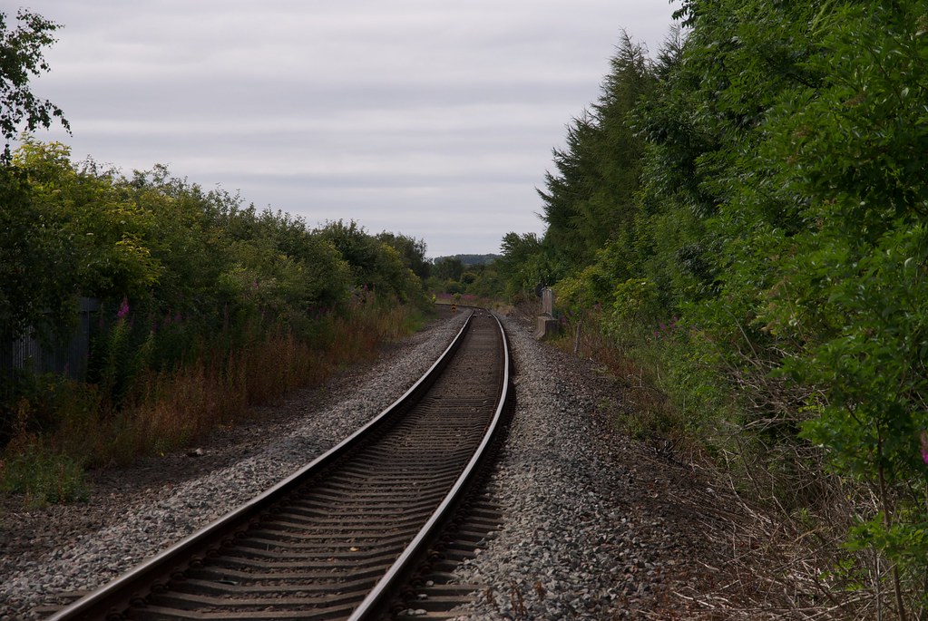
4m
47ch
|
|
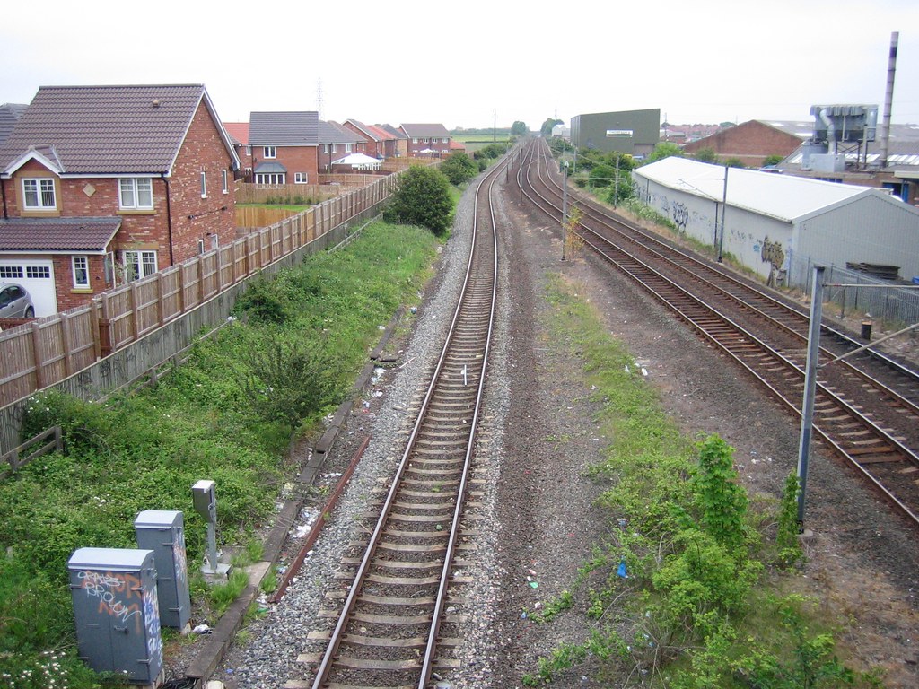
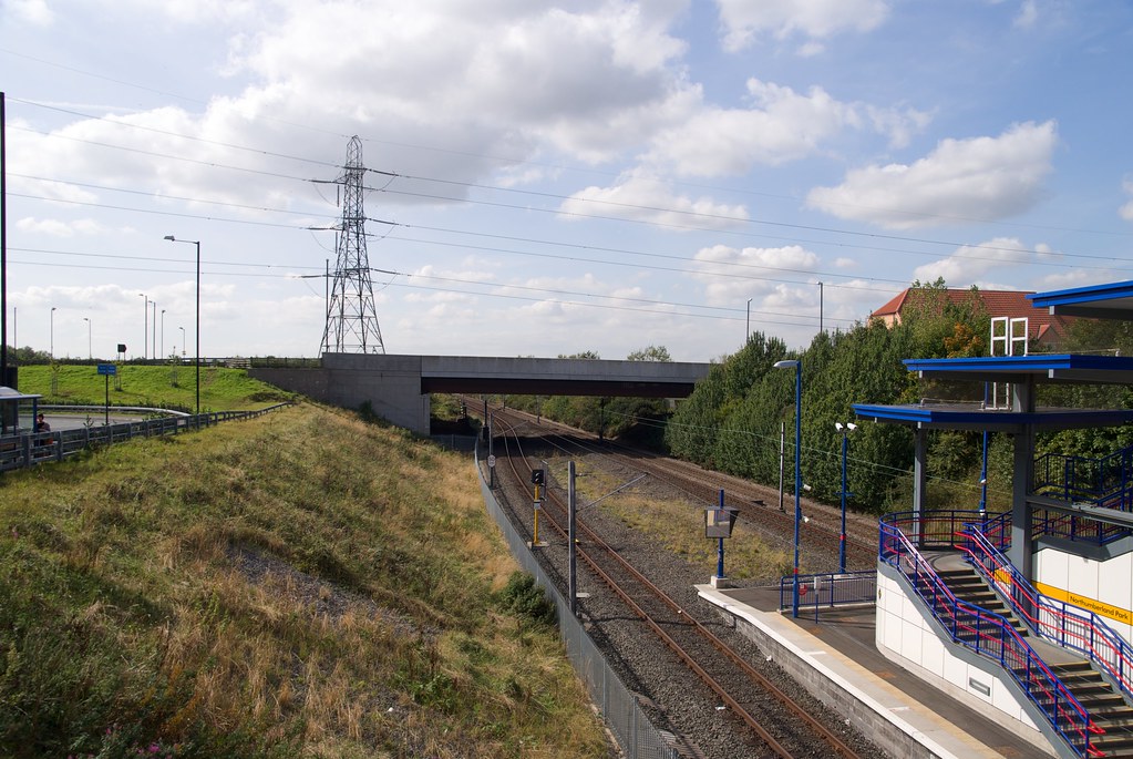
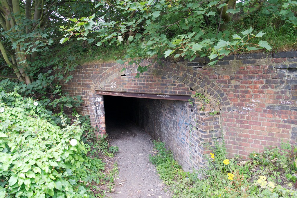
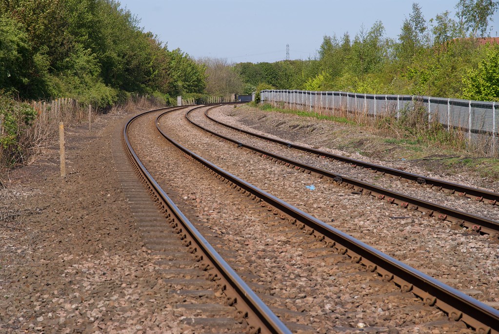
27 |
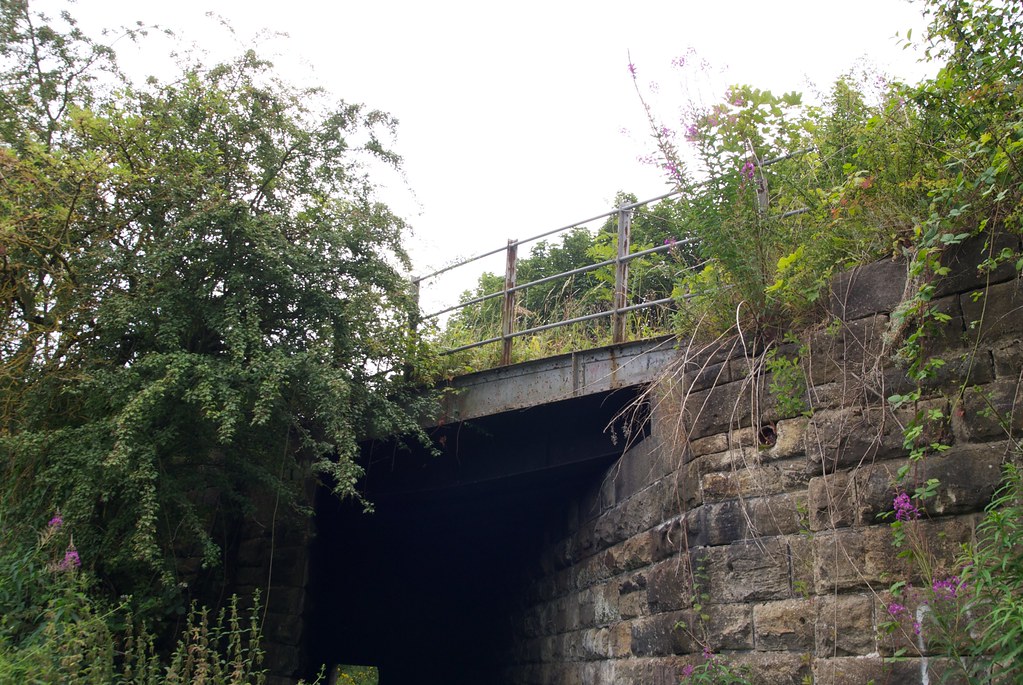
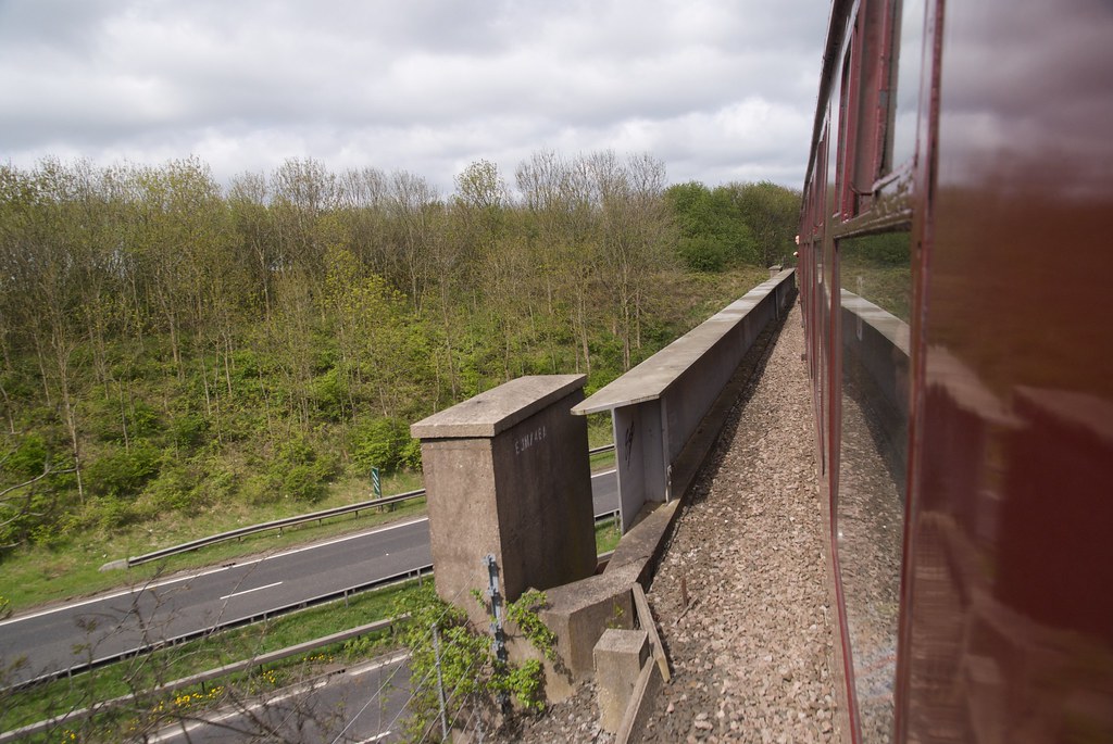
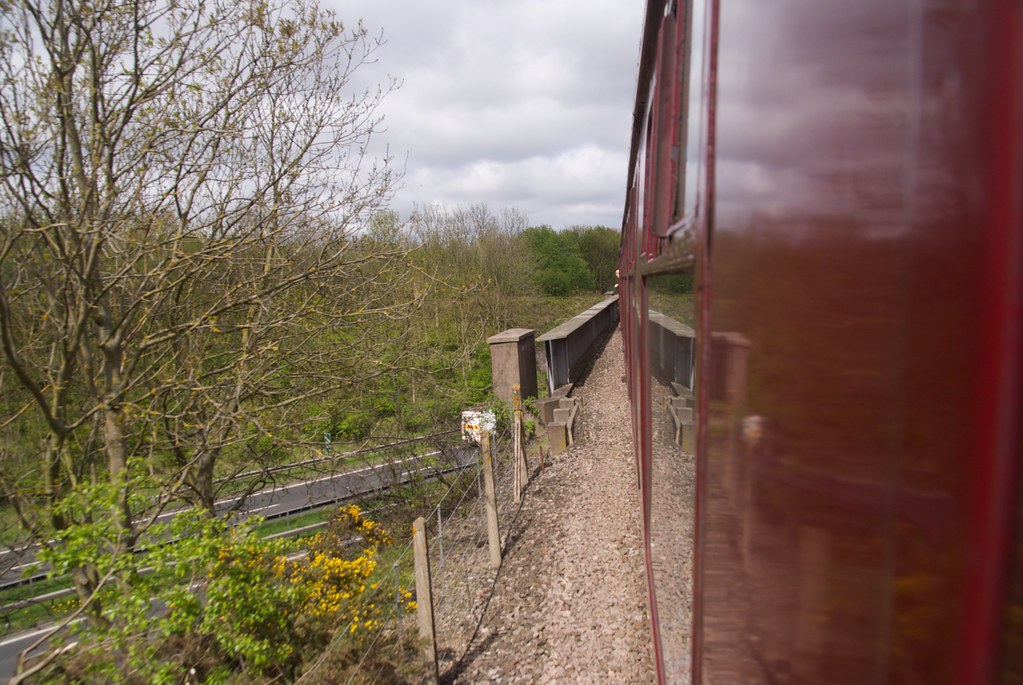
|
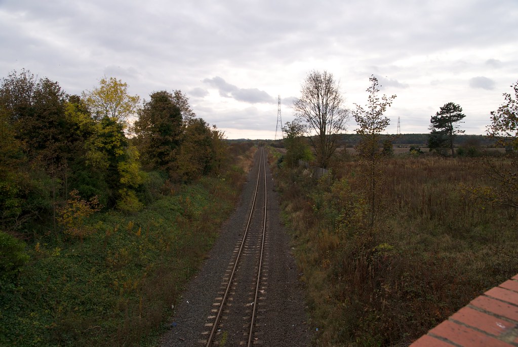
Newcastle & Berwick Line
|
|
|
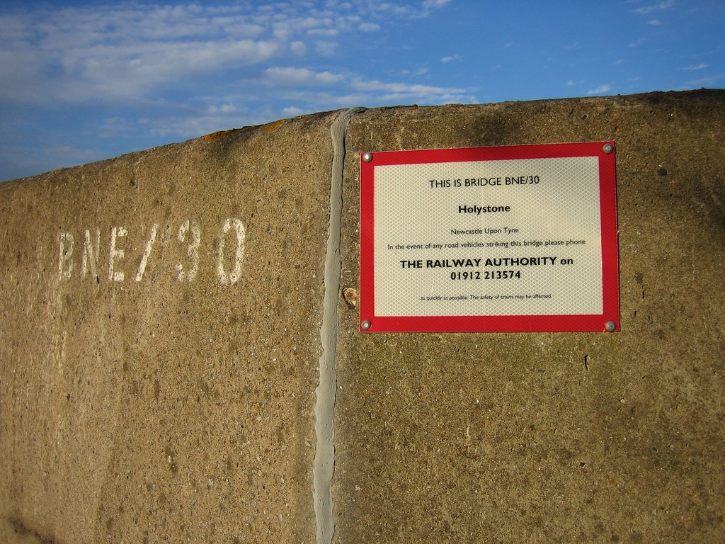
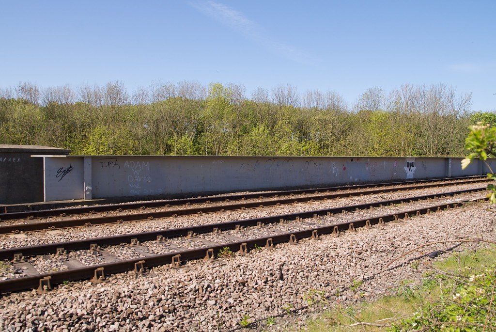
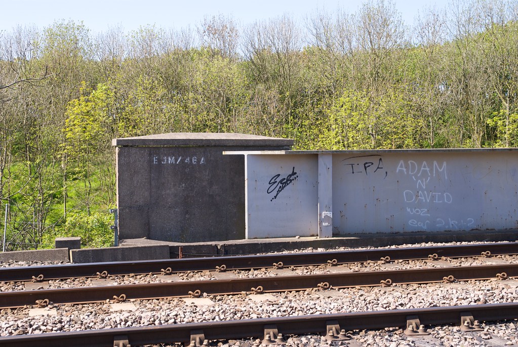
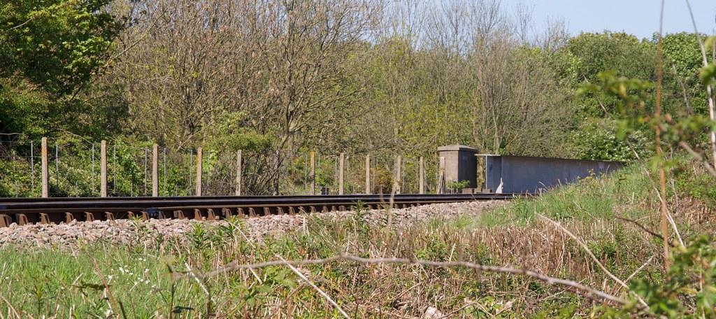
|
28 |
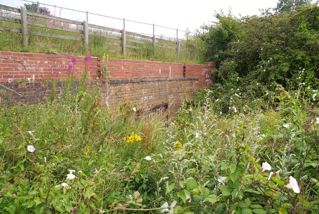
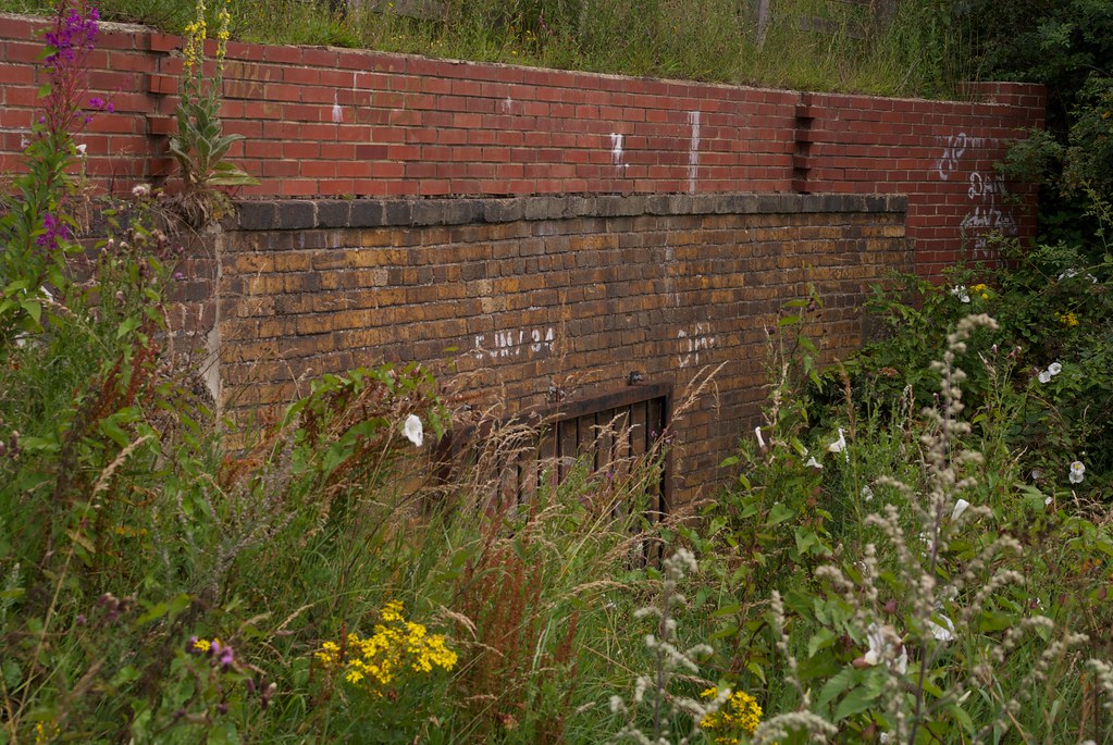
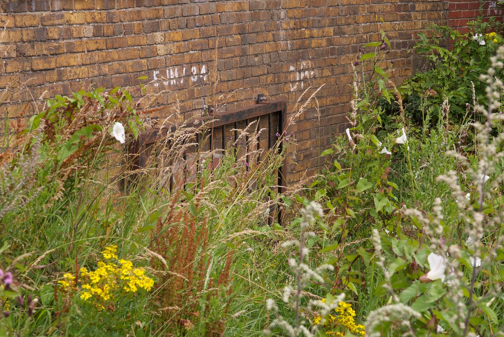
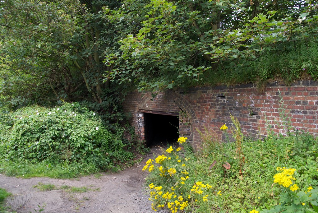
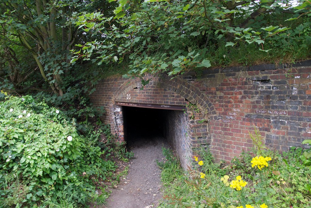
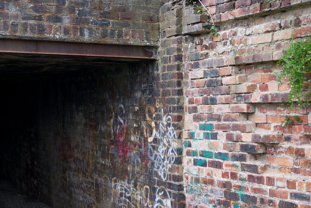
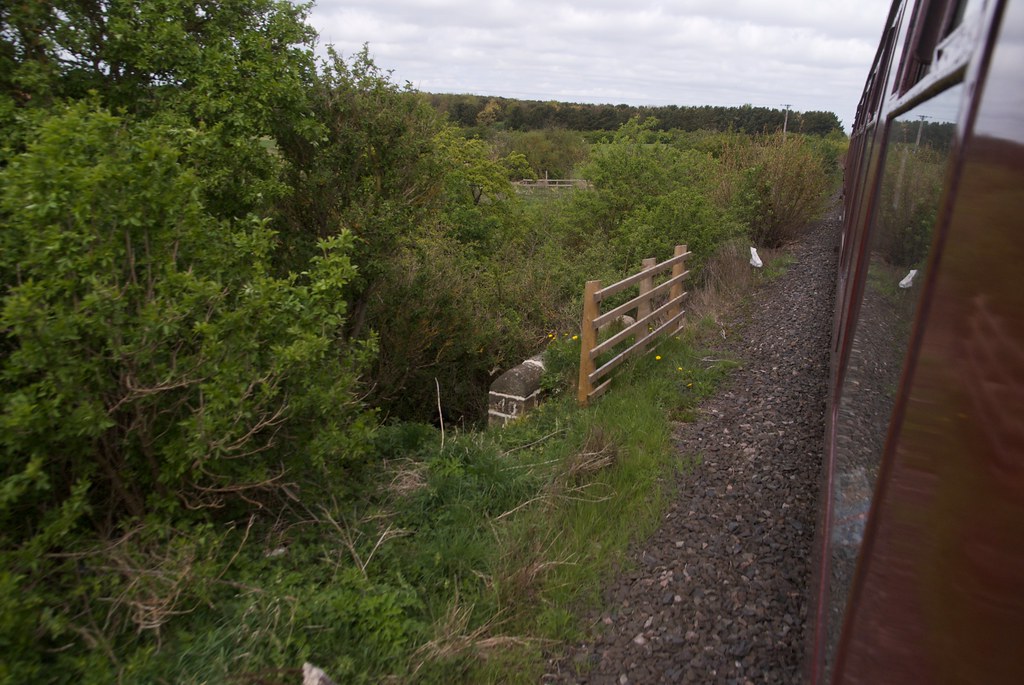
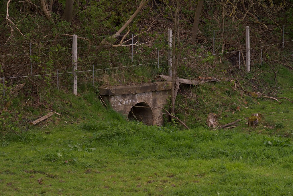
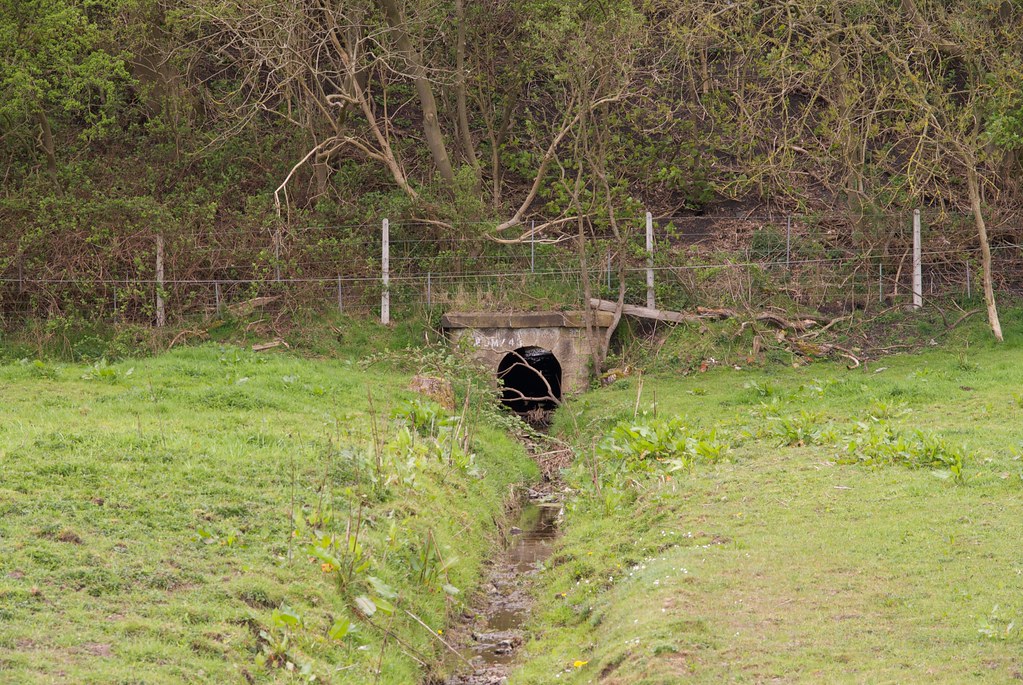
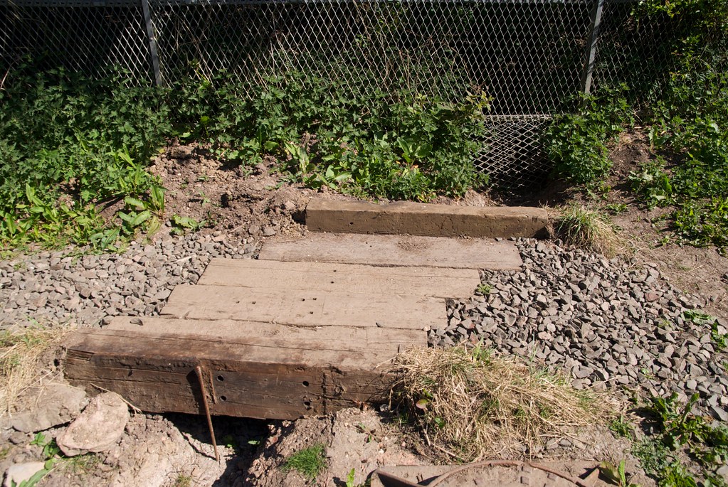
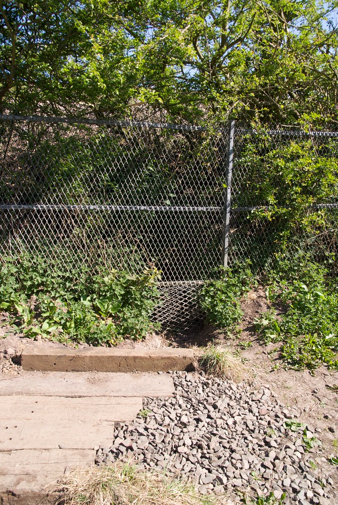
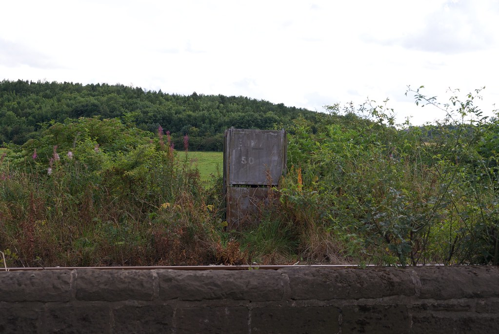
|
Culvert
|
|